Hiking Greenland – Sillisit to Qassiarsuk
Another beautiful day in South Greenland 😊 So much so – it was very, very hard for me to leave my perch on the front deck of the Sillisit Hostel for the hike over to Qassiarsuk!

The most common way to hike between the two places is via the dirt road that basically follows the fjord (solid line in the below left image). However, given my awesome orienteering efforts with the Waterfall Hike near Igaliku the other day, I thought I’d take an alternate route that would probably reveal more varied scenery – yet another “unmarked route”.

This route would take me from Sillisit across to Nunataaq (you can see the dashed line on the map on the left, or the orange line on the map on the right), and then along a dirt road (solid line on left map, bottom red line on right map) to Qassiarsuk.
I have to admit, it took me a little while to get my bearings this time based on the contours, and I relied a fair bit on a trail marked in Maps.Me (have I mentioned how useful that App is?) as I bush-bashed through knee, then thigh, then waist deep vegetation. Definitely no hiking trails here, and rarely even a sheep track heading in the right direction!
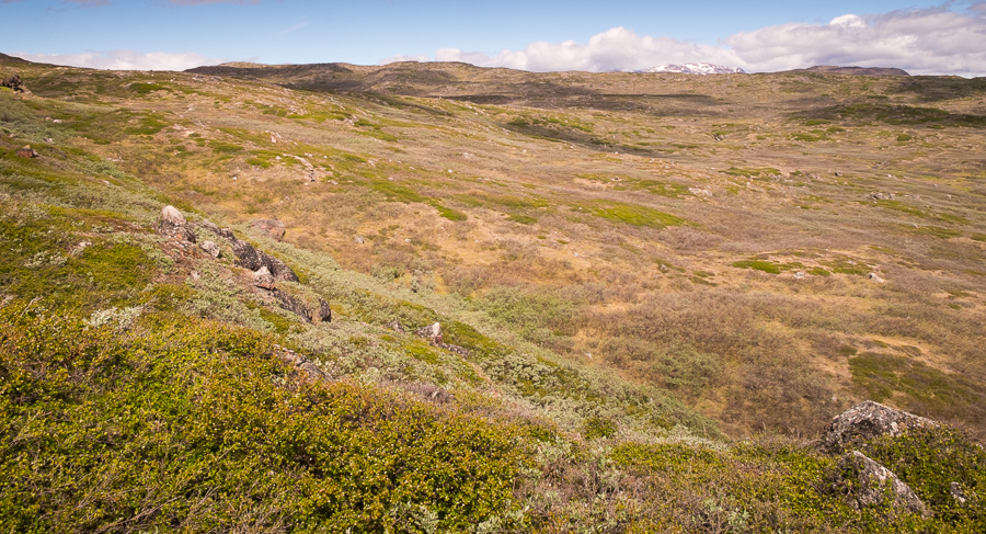
It was beautiful scenery though, full of small lakes (which made a direct route impossible) and a very occasional sheep. This is sheep country. Where are all the sheep??!!
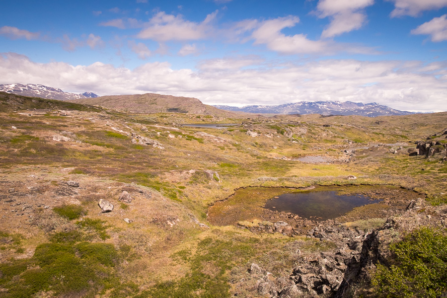
And then, suddenly, after about 4km (though who really knows given I took a bit of a meandering route) – a red dot to mark the hiking route! I was so surprised, I marked it on Maps.Me!

And then another one!
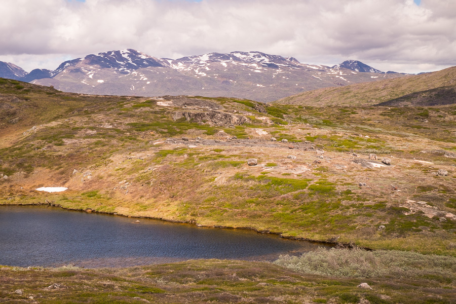
Strangely, there was still no obvious trail and, after getting all excited, that turned out to be the extent of the red dots for another kilometre at least. I suspect I lost the “trail” (as it were) by “keeping high”, however, I did have an awesome lunch spot with a view over a large lake and out to another iceberg-filled fjord.
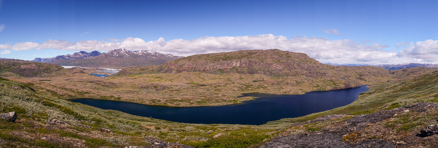
I finally decided to descend the mountain that I was “keeping high” on, and managed to pick up a string of red dots and an obvious hiking trail much further down. There were about 6 dots in a row and each one clearly visible from the previous one!
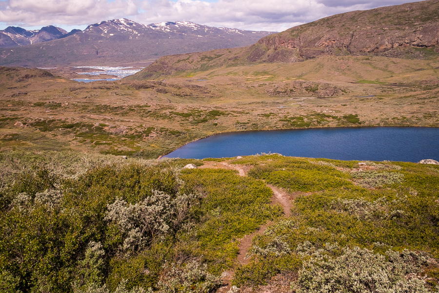
But I celebrated too soon, and ended up bush-bashing the last of the way across to Nunataaq. At least I could see the farm towards which I was heading though!

Along the way, I took a detour out to what looked like it might be an amazing viewpoint over the iceberg-filled Southern Sermilik Fjord. It was 🙂
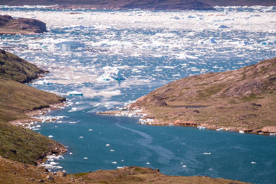
And a little further towards Nunataaq, I spied something that made me stop dead in my tracks in awe! Can you see it in the image below?

Can you see the enormous wall of ice??!! I’ll give you a hint – it’s over on the back-left of the image.
That had to be a massive glacier coming down off the Greenland Ice Cap! I was incredibly excited about the prospect of seeing it up close, but it was getting late and I still had 2 more days to explore the area, on both of which I would pass through Tasiusaq (the small community on the fjord). So I headed up the gravel road to Qassiarsuq instead.

Stunning views back towards the ice-filled fjord and glacier from the top of the pass, and yet more lakes in the direction I was hiking. And some sheep!
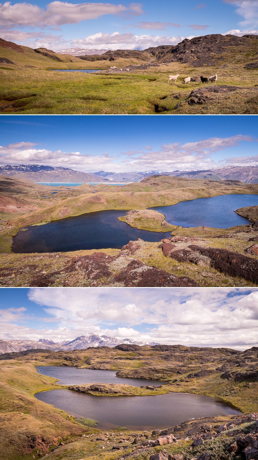
I finally arrived at my farm stay (Illunnguujuk Farm) on the way into Qassiarsuq. Its another very comfortable shared accommodation with a lovely view, and am looking forward to seeing that glacier up close, hopefully on tomorrow’s hike!

Distance: ~20km via the route I took
Time: ~7 hours
Notes: do not attempt the “unmarked route” if you are not confident with navigating and would prefer to walk on some sort of a trail.
Discover more about Greenland
If this post has piqued your curiosity about Greenland, learn more about this amazing country at Visit Greenland, and check out the wide range of tours of all kinds (not just hiking and trekking) at Guide to Greenland.

