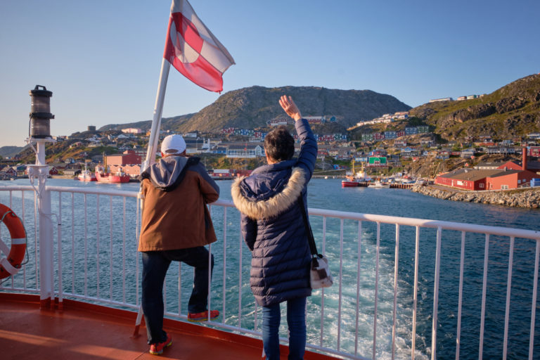
Trekking Greenland – Arctic Circle Trail -Nerumaq to Kangerluarsuk Tulleq Nord
The weather had turned to crap again today as we continued our hike towards Sisimiut.

There were several rivers to cross

and boggy patches to negotiate on this stretch of the trail.
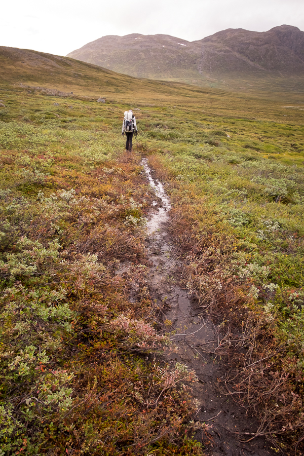
By this time, Tyson had well and truly given up on keeping his trail runners dry and was just hiking through the mud and water – protected by his GoreTex socks. I was still picking my way around these obstacles – so far succeeding in my efforts to keep the insides of my boots dry!
The next huts along the trail were Kangerluarsuk Tulleq Nord (located on the water at the head of the Kangerluarsuk Tulleq fjord) and Kangerluarsuk Tulleq Sud, which was located up on a hill overlooking the fjord. Although our aim was to camp beyond these two huts at the pass over to Sisimiut (our gas supply concerns were by now a distant memory), we decided to head down and check out Kangerluarsuk Tulleq Nord before climbing up to re-join the main trail at Kangerluarsuk Tulleq Sud, and then continue on to an appropriate campsite.
You know what they say about the best laid plans…
We left the main trail and bush-bashed our way towards where we thought the hut would be.

We eventually found it – right where it was meant to be – and headed inside for a look.
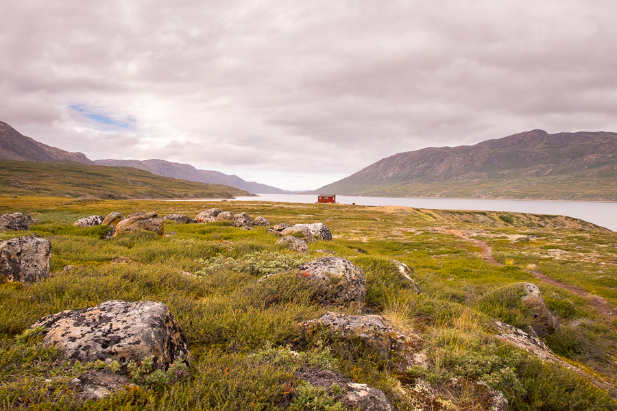
And that’s where our plan unraveled. It was lovely inside!
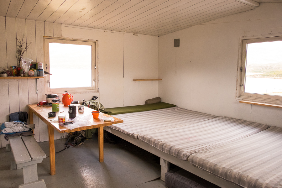
There was an older German man staying there and we sat down with him to have our lunch. It turned out he was as enamoured with Greenland as I am (this was his 7th trip!) and we fell into a great conversation about past and future adventures over never-ending cups of tea.
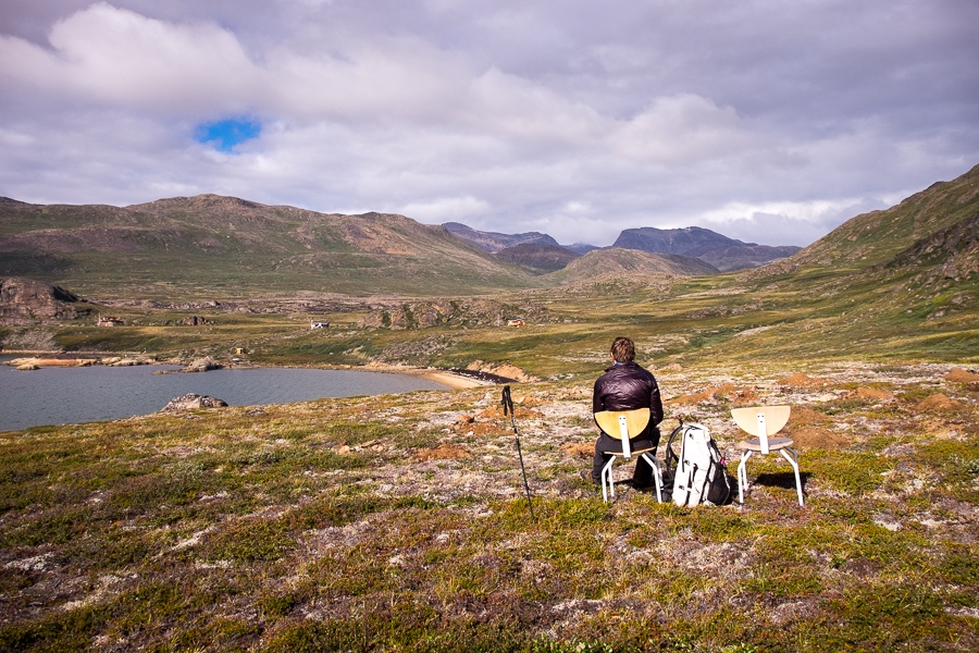
To the point where it became impossible to leave 😉 Add in the fact that the weather had cleared up and the views of the fjord were stunning

[move cursor over the image to see the full panorama]
and it didn’t take much to convince us to stay here rather than wild camp. Yes, it would mean a long day tomorrow … but meh 🙂
With almost an entire afternoon up our sleeves, we decided to take a short hike over to the summer/weekend homes we could see further around the fjord.

We made our way across the tidal river without too much trouble, took a rest beside a flat-pack home that had yet to go up (though the holes for the foundations were dug)
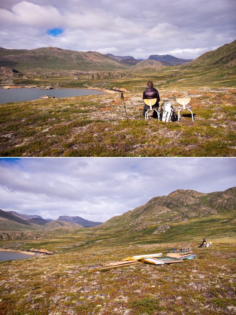
and made ourselves comfortable in the sun on someone else’s porch, surrounded by astroturf!

I decided that the mountains I had seen beyond these homes looked interesting and wanted to see what lay over that way. So while Tyson relaxed, I threaded my way through more bog and headed up the ridge. All I can say is “wow”!

[move cursor over the image to see the full panorama]
Although the low cloud was obscuring the tops of the mountains, the next valley over was absolutely stunning, and I lamented not having more time to take a side excursion for a couple of days to explore further.
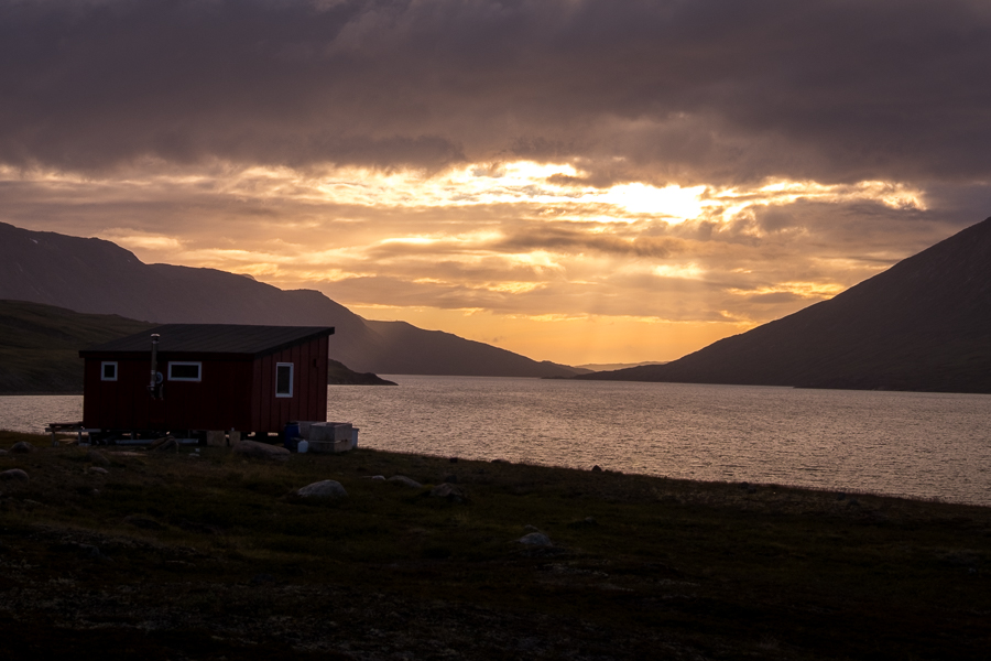
Instead, I collected Tyson and headed back across the now much higher river (oops, I’d forgotten it was a tidal river!) to our German friend and the 2 Asian Girls who had joined us at Kangerluarsuk Tulleq Nord. More wonderful conversation and tea over our evening meal, topped off with a beautiful sunset over the fjord.
Trekking Information
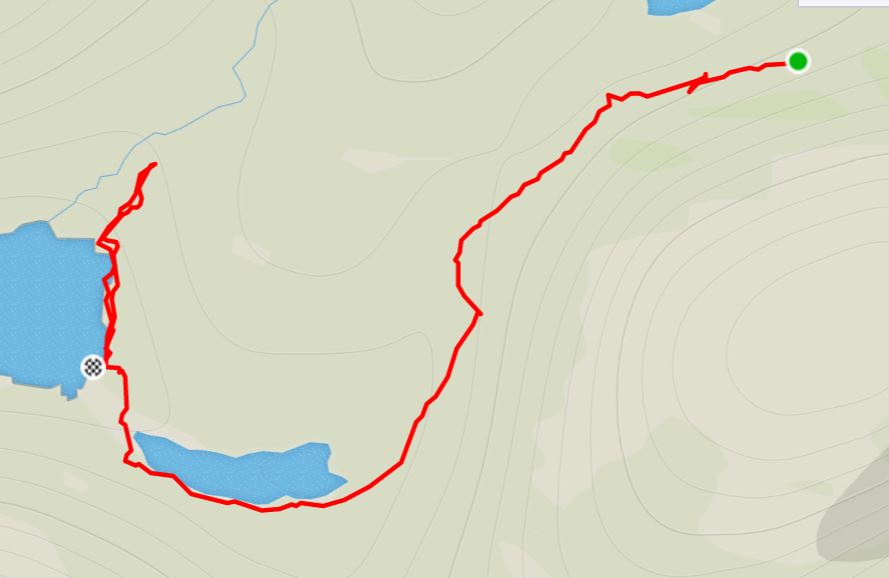
Distance = 16.9 km
Time taken = 7hrs 33mins
GPX File =Arctic-Circle-Trail-Nerumaq-Kangerlusarsuq-Tulleq-Nord.gpx
Strava Link =https://www.strava.com/activities/1813014972
Map
Altitude Profile

Read more about hiking the Arctic Circle Trail
If this post has piqued your curiosity about hiking and trekking in Greenland, read about the rest of my adventure over 8 days on the Arctic Circle Trail:
- Day 1 – Kangerlussuaq to Katiffik
- Day 2 – Katiffik to Canoe Center
- Day 3 – Canoe Center to Ikkattooq
- Day 4 – Ikkattooq to Eqalugaarniarfik
- Day 5 – Eqalugaarniarfik to Innajuattoq II
- Day 6 – Innajuattoq II to Nerumaq
- Day 7 – Nerumaq to Kangerluarsuk Tulleq Nord
- Day 8 – Kangerluarsuk Tulleq Nord to Sisimiut
- Arctic Circle Trail Summary
Also check out the Official Arctic Circle Trail website that I created for Destination Arctic Circle, and the Arctic Circle Trail Go-to Guide at Visit Greenland for which I was the primary creator. You may also be interested in the dedicated hiking trails site for the Arctic Circle region.
If it has sparked an interest in Greenland more generally, learn more about this amazing country at Visit Greenland, and check out the wide range of tours of all kinds (not just hiking and trekking) at Guide to Greenland.