Staying at Innajuattoq II was an inspired idea 🙂

Tyson and I actually dragged ourselves out of bed early for a change (7am), and I finally had hot porridge (and tea!) for breakfast since we no longer had to ration our gas. Porridge really is a whole lot more tasty with wild blueberries!
We eventually set out at 9am, just after the Kiwi-Canadians. And while Tyson (with his long legs) decided to rock-hop across the river where it met the lake, I’d ascertained that there was no way my shorter legs were going to make it. Instead, I headed down the river a little to try to find a way across in collaboration with the Kiwi-Canadians. Hmmm… there was no obvious route… In the end, I decided to simply take my boots off and wade across. Again – I’m determined to reach the end of the trail with dry boots!
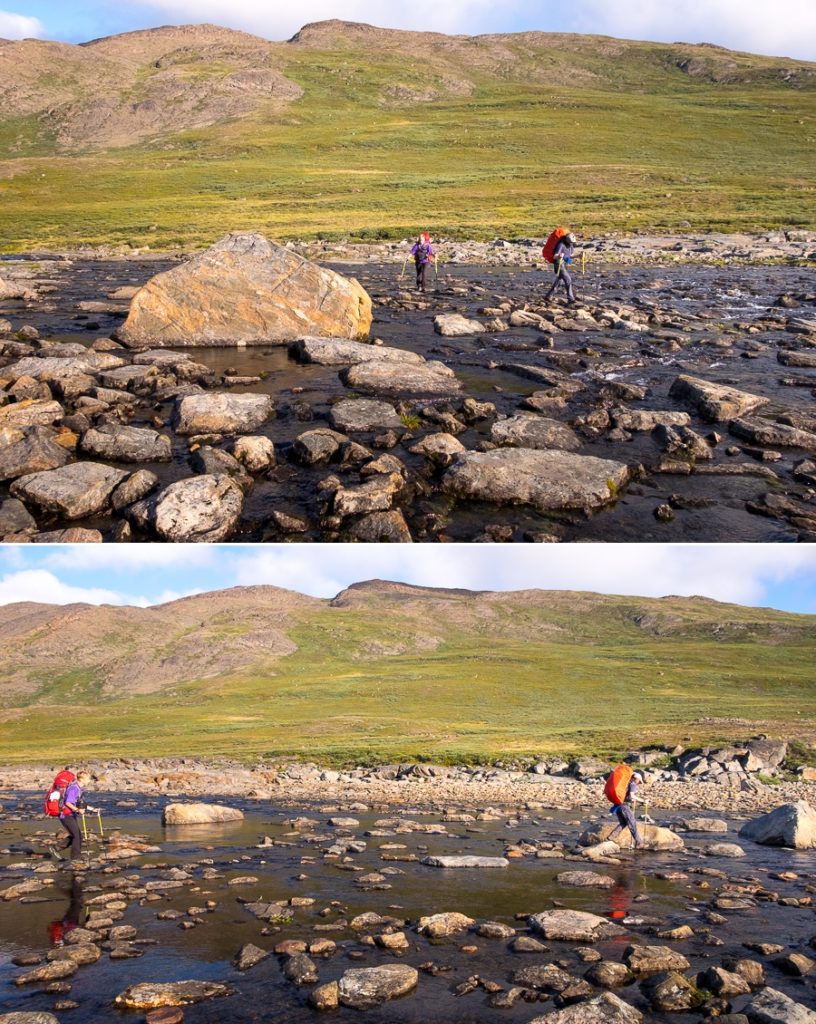
Tyson and I spent a lot of today hiking with Jo and Andrew (yes, we did actually know the names of the Kiwi-Canadians 😉 ). The weather was glorious as we hiked along the trail

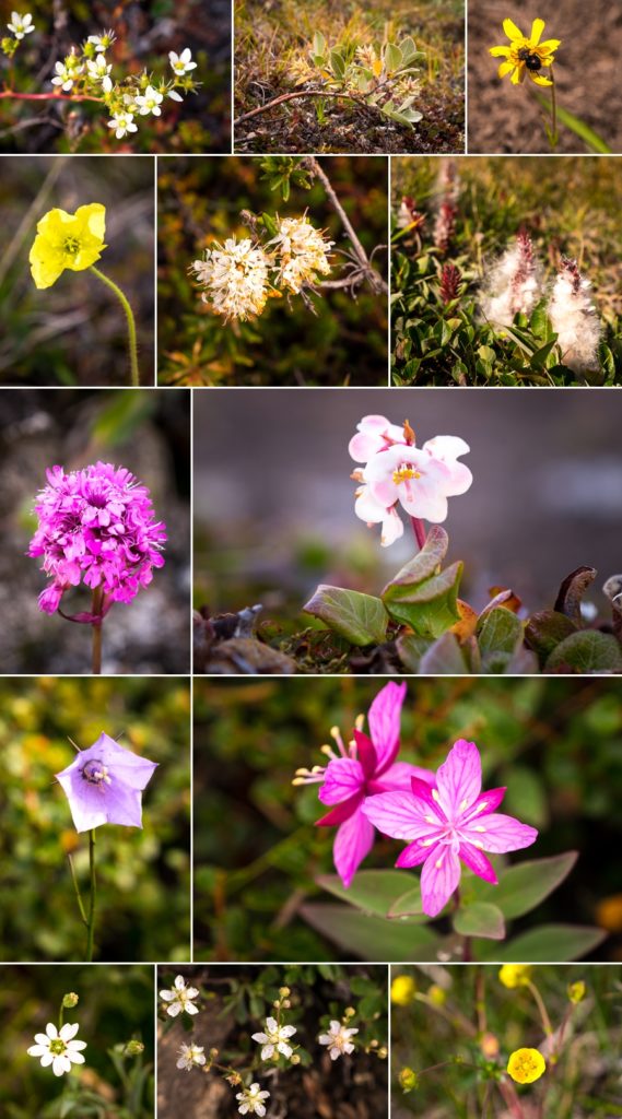
and both Jo and I spent a lot of time taking pictures of the flowers that we saw. At this time of year, there is an abundance of wildflowers along the trail!
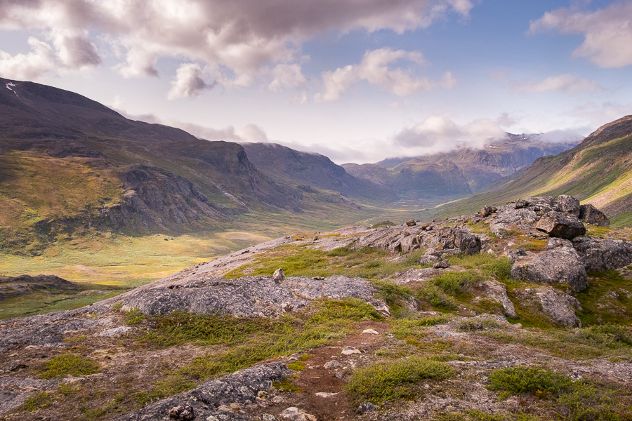
The trail that we ended up following took us up onto a ridge

where we had lunch overlooking the most incredible view out towards the mountains ahead of us and the river valley (with another trail) below us.
I loved the open vista as we descended into the valley

collecting blueberries for breakfast along the way. Yes, by this time I’d convinced Tyson that wild blueberries made everything taste better 🙂
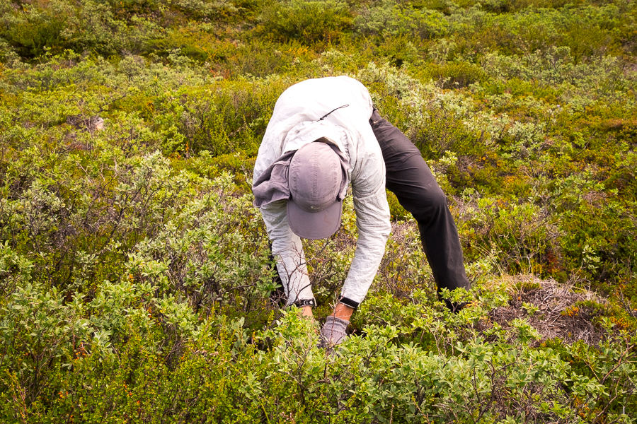
The trail led us through a small forest of Arctic willow – always a strange feeling to be walking through vegetation as high as you are in Greenland
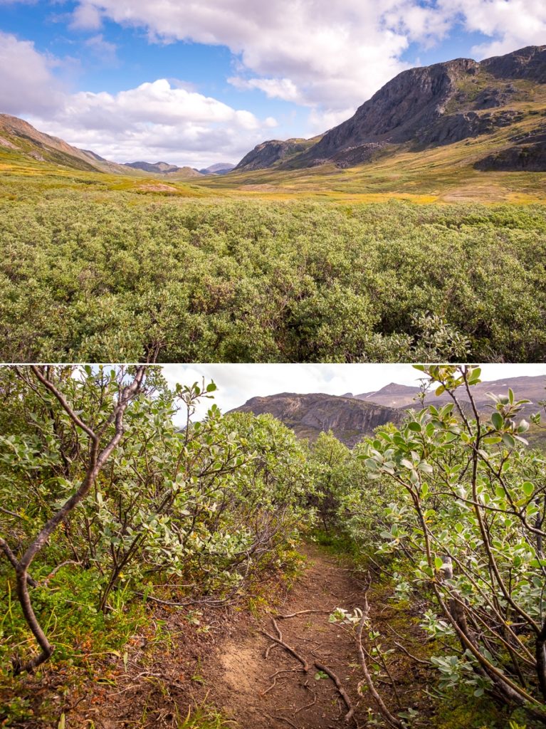
before it turned the corner in another valley to arrive at Nerumaq Hut, stunningly situated at the base of a rocky bluff.

The Kiwi-Canadians had decided to camp here for the night, but we decided to push on up the valley a little further.
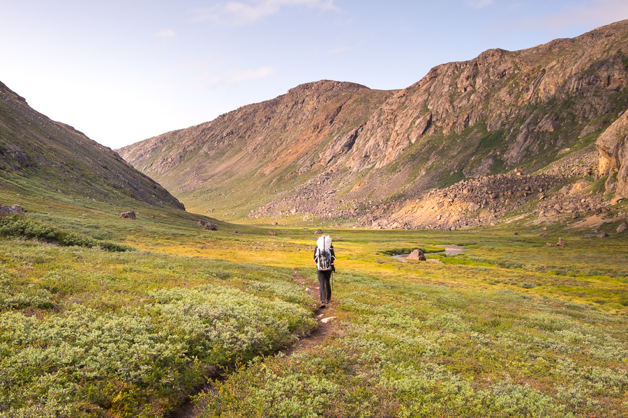
We were starting to wonder if we’d ever find a spot that was sheltered from the wind (bloody tent!), and in the end we lucked out and camped at a beautiful spot with a clear view up the valley we’d just walked along.
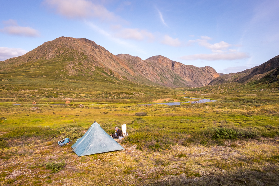
We ran the gauntlet with the Greenlandic mosquitoes once more as we prepared our dinner outside
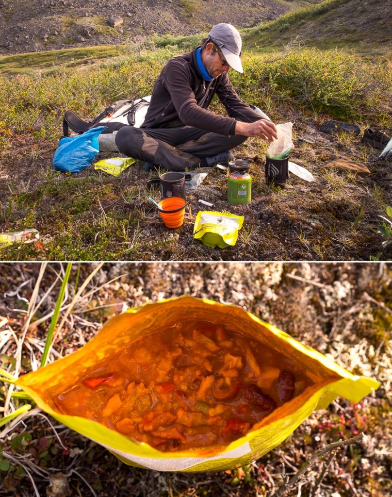
and enjoyed the view while the sun set. Life doesn’t get much better than this!

Trekking Information
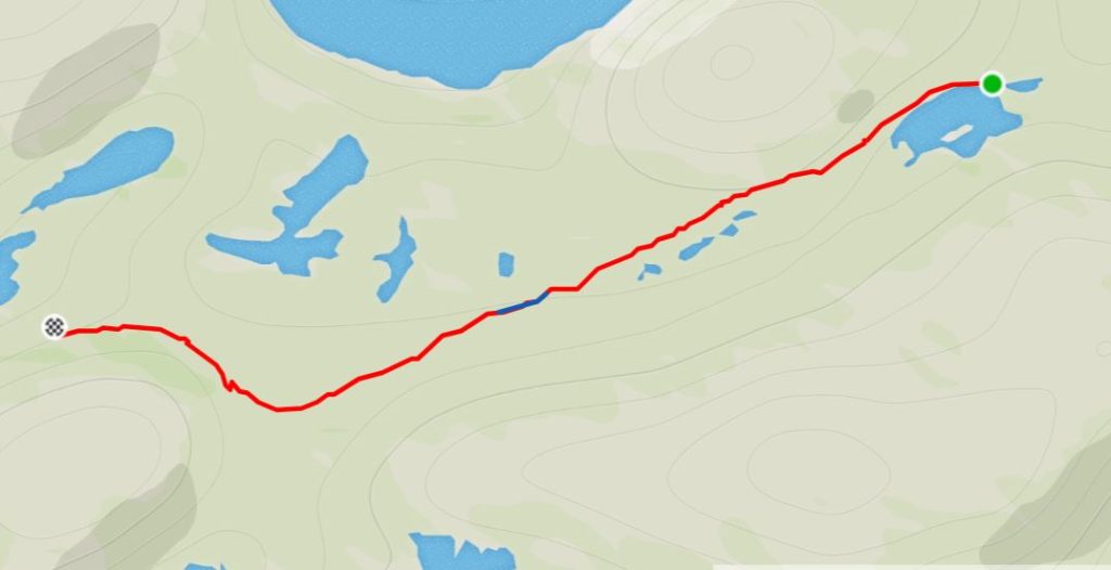
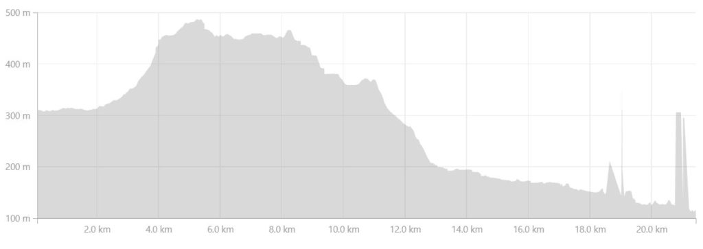
Distance = 21.4 km
Time taken = 8hrs 27mins
GPX File =Arctic-Circle-Trail-Inajuattoq-Nerumaq.gpx
Strava Link =https://www.strava.com/activities/1813015191
Map
Altitude Profile
Read more about hiking the Arctic Circle Trail
If this post has piqued your curiosity about hiking and trekking in Greenland, read about my adventure over 8 days on the Arctic Circle Trail:
- Day 1 – Kangerlussuaq to Katiffik
- Day 2 – Katiffik to Canoe Center
- Day 3 – Canoe Center to Ikkattooq
- Day 4 – Ikkattooq to Eqalugaarniarfik
- Day 5 – Eqalugaarniarfik to Innajuattoq II
- Day 6 – Innajuattoq II to Nerumaq
- Day 7 – Nerumaq to Kangerluarsuk Tulleq Nord
- Day 8 – Kangerluarsuk Tulleq Nord to Sisimiut
- Arctic Circle Trail Summary
Also check out the Official Arctic Circle Trail website that I created for Destination Arctic Circle, and the Arctic Circle Trail Go-to Guide at Visit Greenland for which I was the primary creator. You may also be interested in the dedicated hiking trails site for the Arctic Circle region.
If it has sparked an interest in Greenland more generally, learn more about this amazing country at Visit Greenland, and check out the wide range of tours of all kinds (not just hiking and trekking) at Guide to Greenland.
