Hiking Greenland – Icefjords and Remote Villages – Tiniteqilaaq
Despite being thwarted last night in watching the Sun set behind the Greenland Icesheet at 11:30pm, ever the optimist, I got myself out of bed at 2:00am to go take photos as the Sun rose again (nights are very short during Greenlandic summers!)
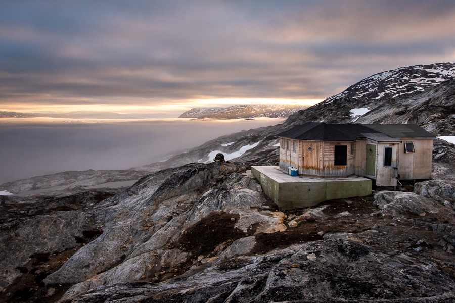
Although the fog was still lingering, I decided to set up my camera for time-lapse photography and leave it running while I went back to bed. The result: the following (slightly imperfect) video revealing how the hidden currents in the fjord move the icebergs in different directions (I’ve slowed it down so you can see the movement clearly).
The schedule for today had us hiking in the hills behind the hut at Tiniteqilaaq – an excursion that Andrea assured us would reveal views as spectacular as the one from the front porch … if only we could drag ourselves away.

It was a bit of a “choose your own adventure” as Andrea led us along the Sermilik Fjord
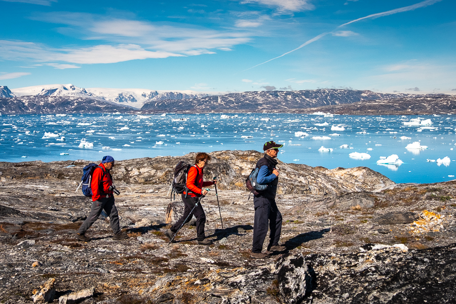
around semi-frozen lakes

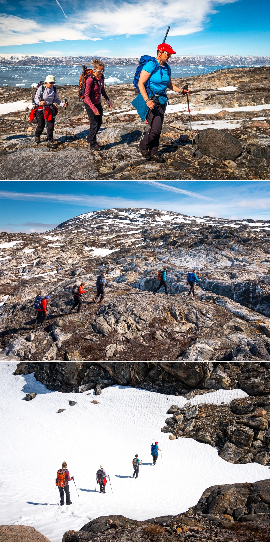
and searched for the best way up the mountain, given the numerous snowfields.
We had incredible views over the Ikaasatsivaq Fjord

[move mouse over image to view whole panorama]
and the Sermilik Fjord, and of the intricate, almost organic patterns in the Greenlandic rocks (those who have read my other posts from Greenland will know how obsessed I am by the rocks here).

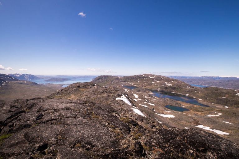
Given the amount of snow we were hiking through (waaaaay more than is normal at this time of year), we didn’t actually make it all the way to the point that Andrea was aiming for. Rather, she called a halt on a ridge that had an incredible dual-view. On one side – a frozen lake in front of the Innertivik and Ikaasatsivaq Fjords,

[move mouse over image to view whole panorama]
and on the other – the Sermilik Fjord.

We stopped here for over an hour having lunch and enjoying the perfect day with some of the world’s most spectacular views.

Eventually, Andrea encouraged us to our feet for the return journey back to the hut. We initially took a slightly different route which led us past the most incredible snow-pool – an oval of bright blue water surrounded by pristine snow. Despite hating cold water, the pool was so perfect that I had the overwhelming urge to go in!

The whole hike delivered on Andrea’s promise of spectacular views

and it was interesting to see what new icebergs had made their way to the front “doorstep” of our hut while we’d been gone.

I absolutely loved the shape of this large iceberg, so grabbed my camera and tripod for a little more time-lapse photography 😊
The wonderful thing about time-lapse is how it reveals the extent to which things move, especially when that movement is barely perceptible in real time. For example, I thought that the large iceberg had rotated while I sat there for the hour, but I wasn’t sure. The time-lapse shows just how much it turned before setting off up the fjord, as well as which bergs were stuck fast, grounded on the bottom.
Read more about the Icefjords and Remote Villages Tour
If this post has piqued your curiosity about hiking and trekking in East Greenland, read about the rest of my adventure on the 10-day Icefjords and Remote Villages tour with Greenland Adventures:
- Day 1 – Kulusuk
- Day 2 – Hike to DYE-4 radar station
- Day 3 – Kulusuk to Kuummiut
- Day 4 – Hike to Illitsiartik in the Tunu fjord
- Day 5 – Hike up Mt Kuummiut
- Day 6 – Kuummiut to Tiniteqilaaq
- Day 7 – Hike near Tiniteqilaaq
- Day 8 – Tiniteqilaaq to Tasiilaq, hiking the “Sermilik Way”
- Day 9 – Tasiilaq
- Day 10 – Tasiilaq to Reykjavik
If it has sparked an interest in Greenland more generally, learn more about this amazing country at Visit Greenland, and check out the wide range of tours of all kinds (not just hiking and trekking) at Guide to Greenland.
Hiking Information
Distance = 8.2km
Time taken = 7 hours
Strava Link = https://www.strava.com/activities/1704297064
Map

Altitude Profile


