The other main day-hike from Igaliku, is the Waterfall Hike (marked in yellow on the map below), which heads off in the opposite direction to the Lakes and Plateau Hike I did yesterday.
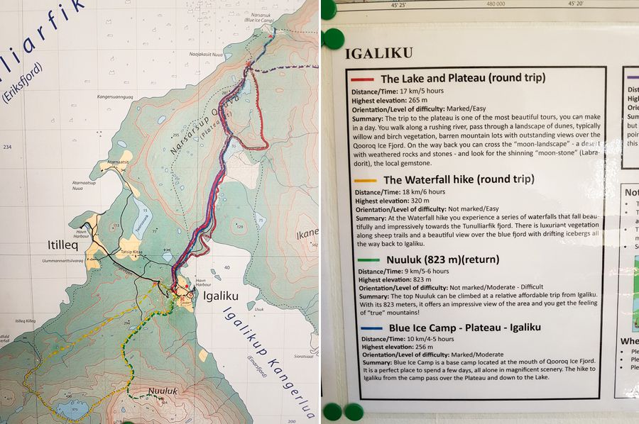
I have to admit, I was less excited by this one, because after almost a year and a half of travel, it has to be a truly spectacular waterfall to make an impression. But once the fog looked like it was clearing, I headed off again.
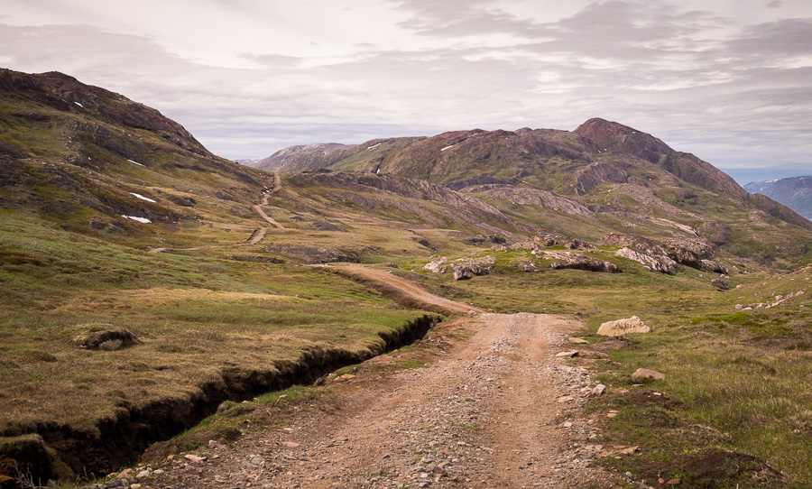
The first part of this hike was mostly along a gravel road that cut through yet more sheep farms.
And while it was pleasant enough hiking, it wasn’t anything to write home about. The road ended at the top of a steep hill, and after following the red dots for a while, I ended up at this small lake.

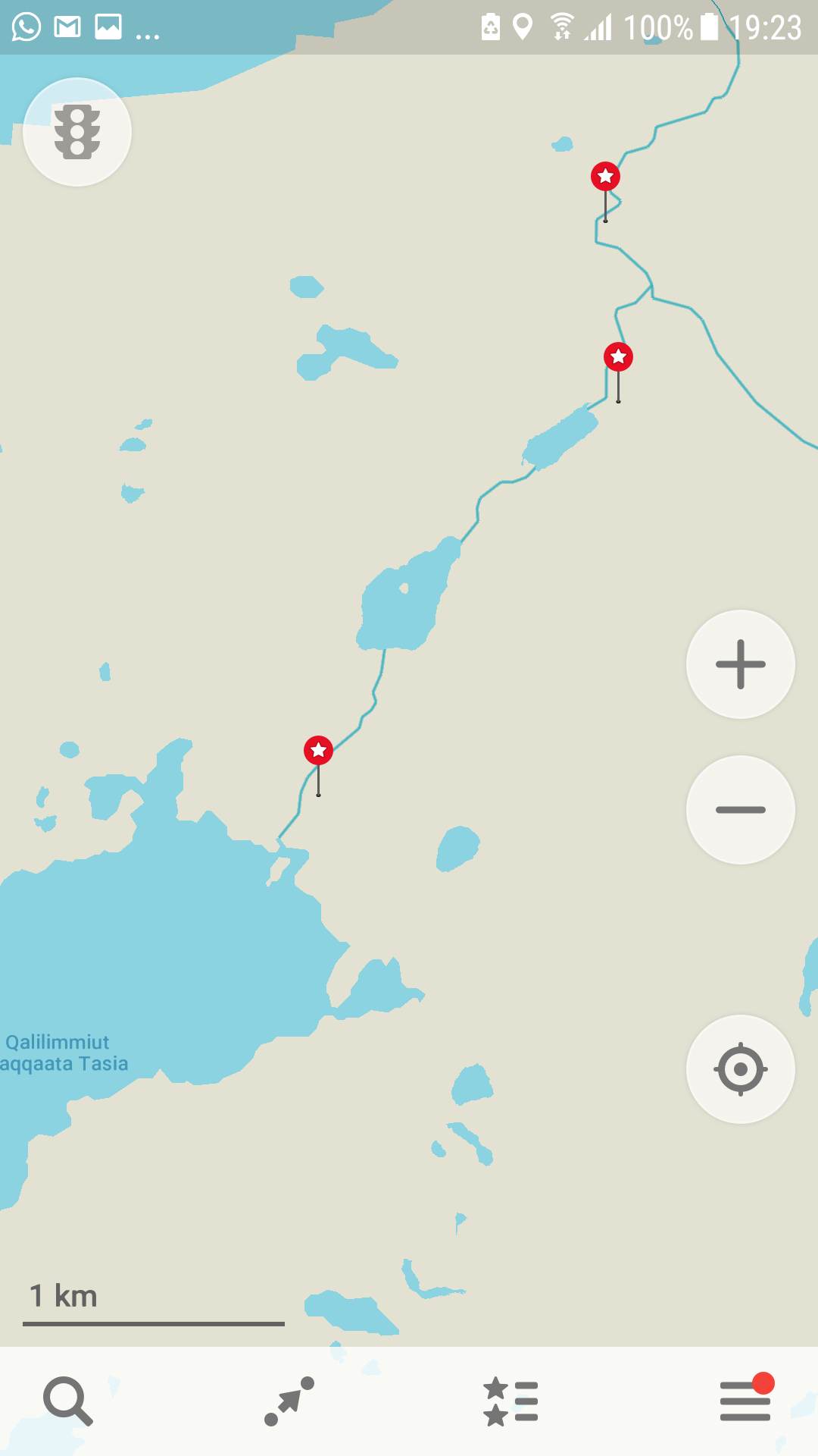
Checking out Maps.Me (seriously awesome App), it looked like I’d already stumbled off the trail (even though the red dots led me there), and again, anticipating disappointment with the waterfalls, I decided that the string of lakes heading in the opposite direction on the map looked much more interesting. So off I set.
Very quickly, there was no trail, even though there seemed to be the occasional red dot. So, I ended up negotiating bogs (only got 1 shoe in the mud), following sheep trails that seemed to be heading in the right direction until they stopped suddenly (seriously! How does a sheep trail suddenly stop? I figure the aliens must like Greenlandic lamb and just beam them up), and bush-bashing through calf-deep vegetation – which turns out to be pretty hard going when also climbing a hill!

Oh – and after 7 days in Greenland during the summer – I finally found the flies I’d read so much about! Yes, you need to take a head net with you! Because when you find them (or rather, they find you), they very quickly become unbearable! Much worse than Aussie flies! The trick is to remember you have the net on when you go to eat or drink 🙂
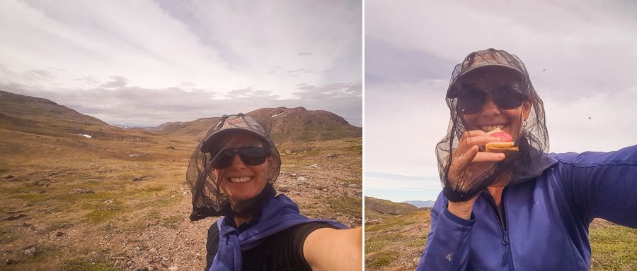
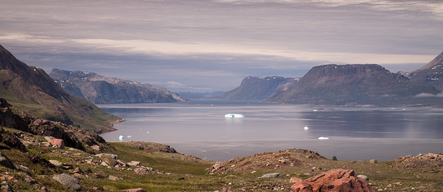
Still, it was worth the effort as the third (large) lake I was aiming for was absolutely stunning – especially with the backdrop of storm clouds! Really, the image doesn’t do it justice!

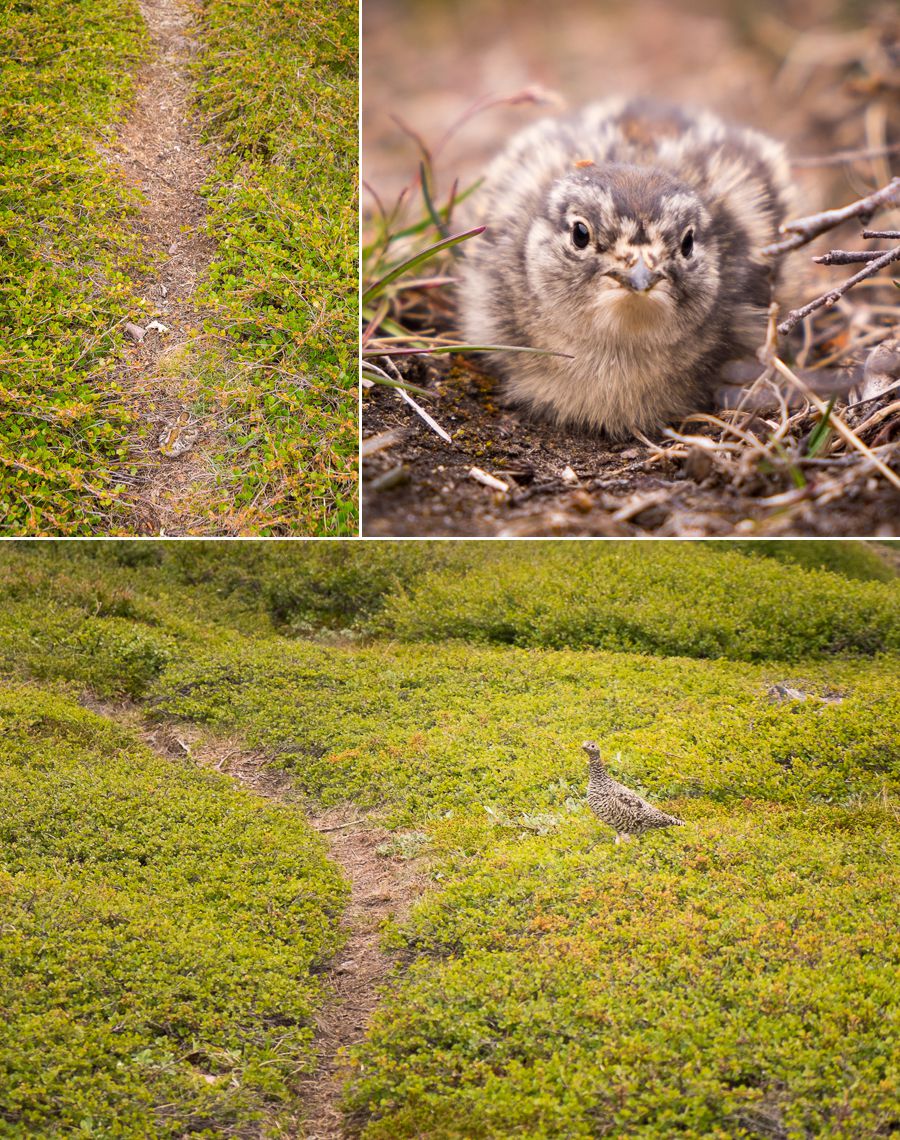
I back-tracked to the initial lake to find the main hiking trail again and, although the “unmarked route” on the map called to me, I decided I would go check out the waterfalls. I quite literally almost stepped on this little guy and his brother who had decided to “hide” right on the walking track (mum was scurrying around nearby being all concerned).
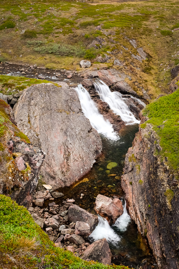
As predicted, the waterfalls were a little underwhelming (not hard when your maximum altitude is ~300m above sea level)
So, I followed my first desire and headed back up the cliff to return to Igaliku via the “unmarked route” that skirted around Lake 380 and over the pass heading up to the top of Nuuluk. This is where I brushed off my orienteering skills (ie map reading skills) from 20 years ago to determine via contours where I should be heading.
The views back over Lake 380 and the Tunulliarfik Fjord were totally worth the effort to climb to the pass!

And once at the top, I could see Igaliku and where I needed to head.
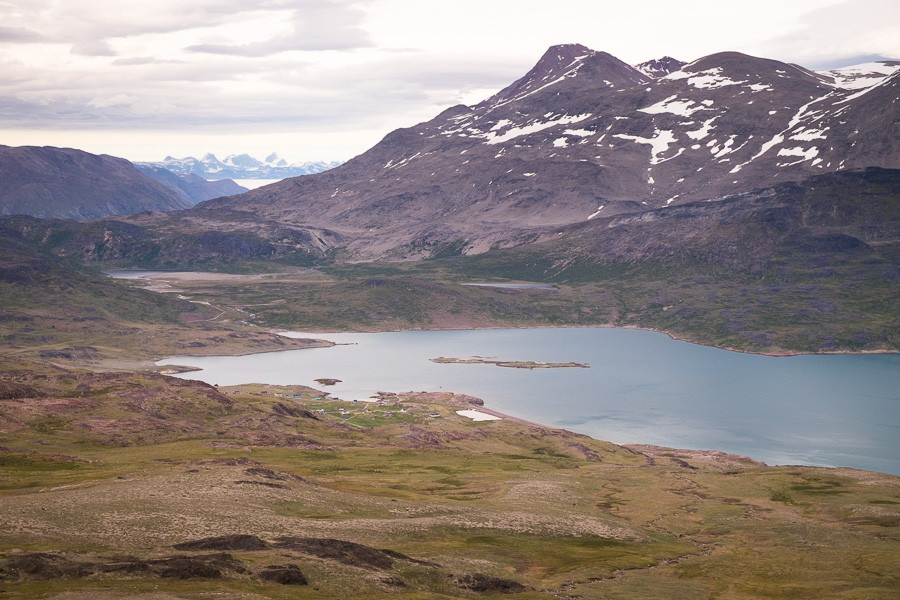
The question was getting down there! Another choose-your-own-adventure ensued, but I made it down eventually, having seen some really awesome landscapes and despite the extremely strong wind that had picked up in advance of bad weather.

Distance: ~23km via the route I took
Time: ~7 hours
Notes: Do not attempt the “unmarked route” via Lake 380 and Nuuluk if you are not confident in navigating, and want to walk on a sheep track at least. I didn’t follow any tracks at all from Lake 380 up and over and down to Igaliku. I didn’t see anyone else the entire journey.
Discover more about Greenland
If this post has piqued your curiosity about Greenland, learn more about this amazing country at Visit Greenland, and check out the wide range of tours of all kinds (not just hiking and trekking) at Guide to Greenland.
