Another relaxed start to the day meant it was a minor miracle that I arrived at the viewpoint over the next large lake before the wind picked up. Oh, I was so very, very thankful!
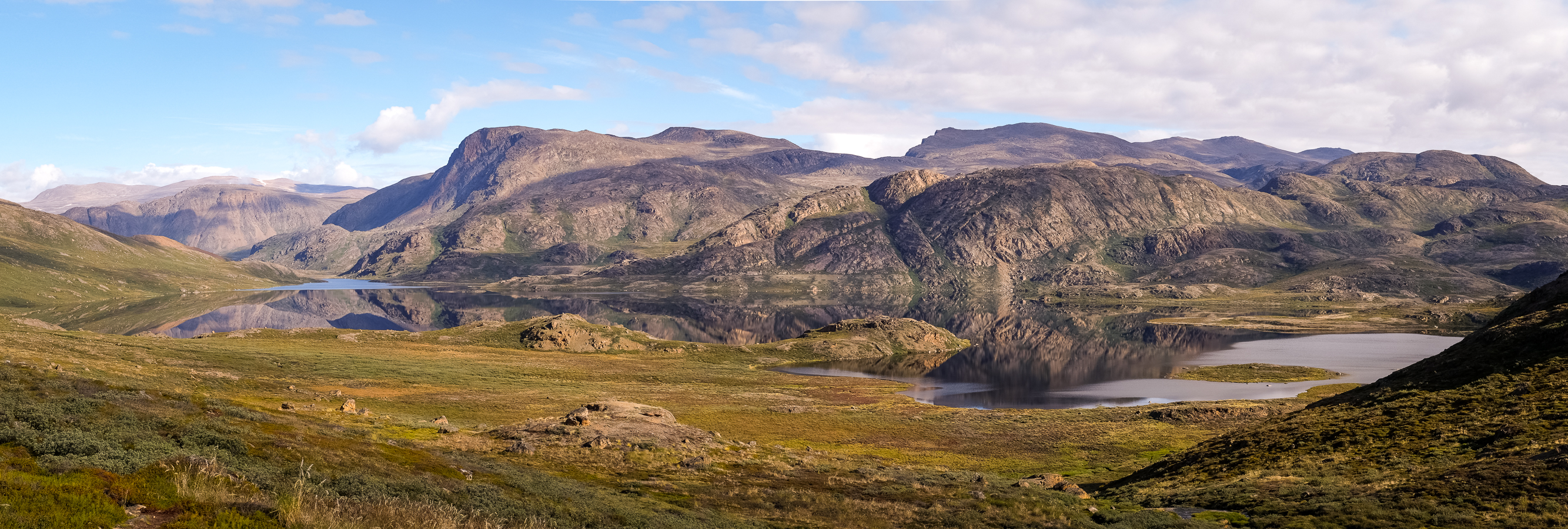
[move cursor over the image to see the full panorama]
The perfect reflections were absolutely stunning
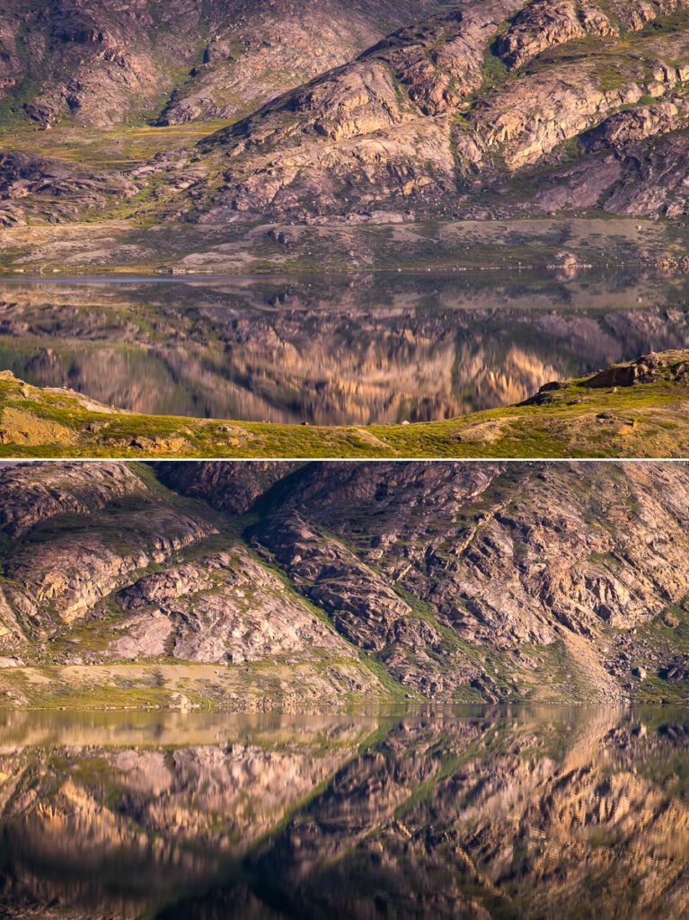
and it was not possible to get enough of this view! Nor of the absolute silence and solitude that you feel while trekking in one of the most remote places on Earth.
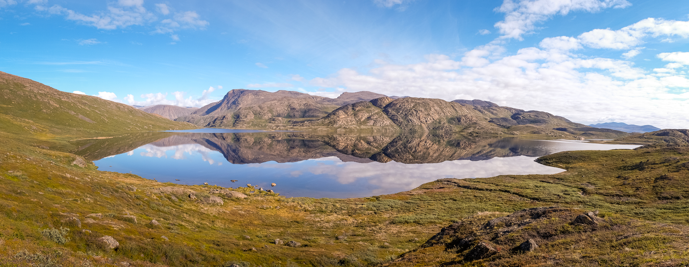
[move cursor over the image to see the full panorama]
Tyson and I ended up hiking separately for this first part of the hike. Given he was wearing GoreTex socks (which kept his feet dry) and trail-running shoes – he chose to take the low trail along the lake. I was trying to avoid as much boggy ground as possible and so decided to take the high trail. Plus I figured the views would be better 🙂
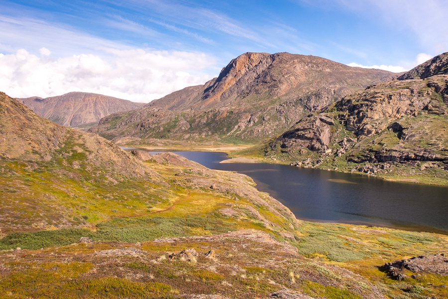
We met again for an early lunch (including soup and tea now that we had a decent amount of gas!) on a large slab of rock jutting out into the lake, and took the opportunity to have a wash – all while being attacked by Greenland’s infamous Summer mosquitoes! Yes, this is another thing you read a lot about when planning to hike the Arctic Circle Trail. And while they weren’t too bad for the most part, there were a few occasions along the trail where I broke out the head net to keep them at bay!
After lunch, we caught up with the Kiwi-Canadians and fell into step with them as we made our way along a wide, rocky river.
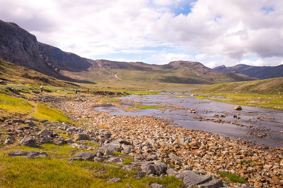
After a brief sunny interlude during the morning, the clouds closed in again as we headed towards the Innajuattoq huts.
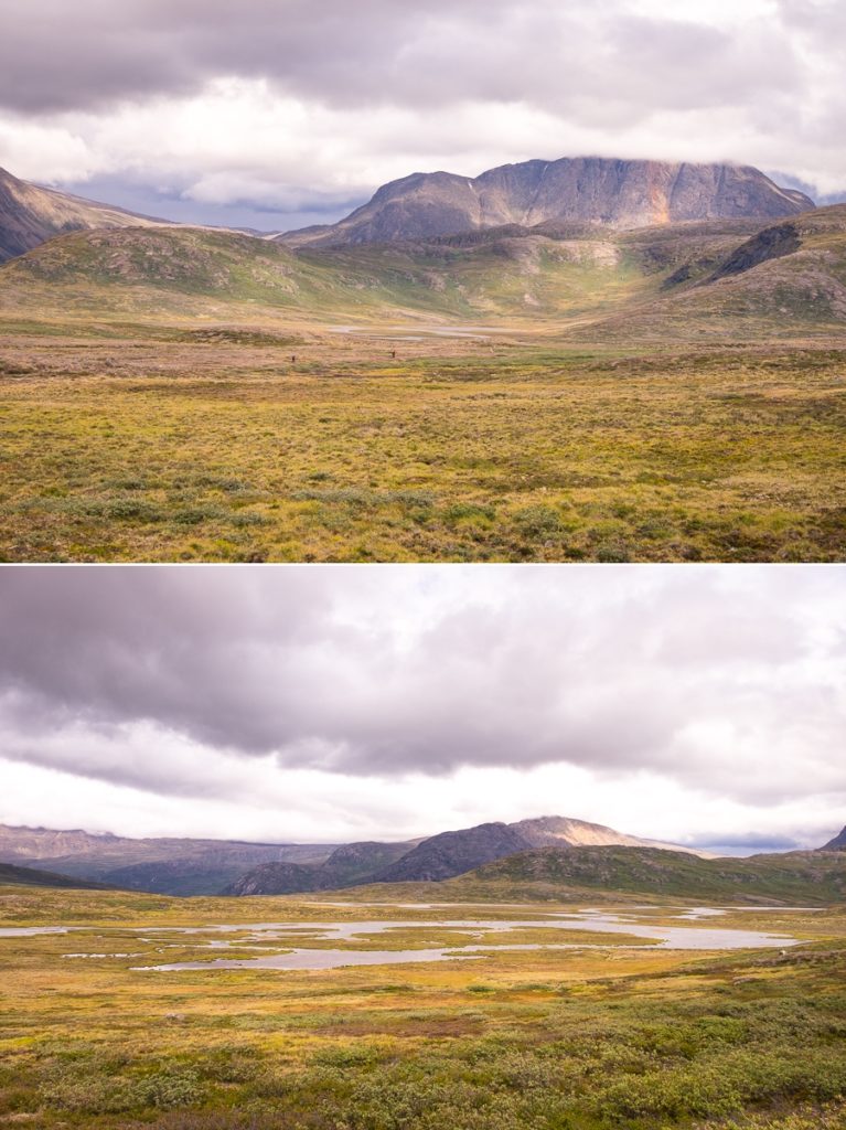
There are actually 2 huts quite close to each other and we decided to climb the hill to check out the tiny Innajuattoq I
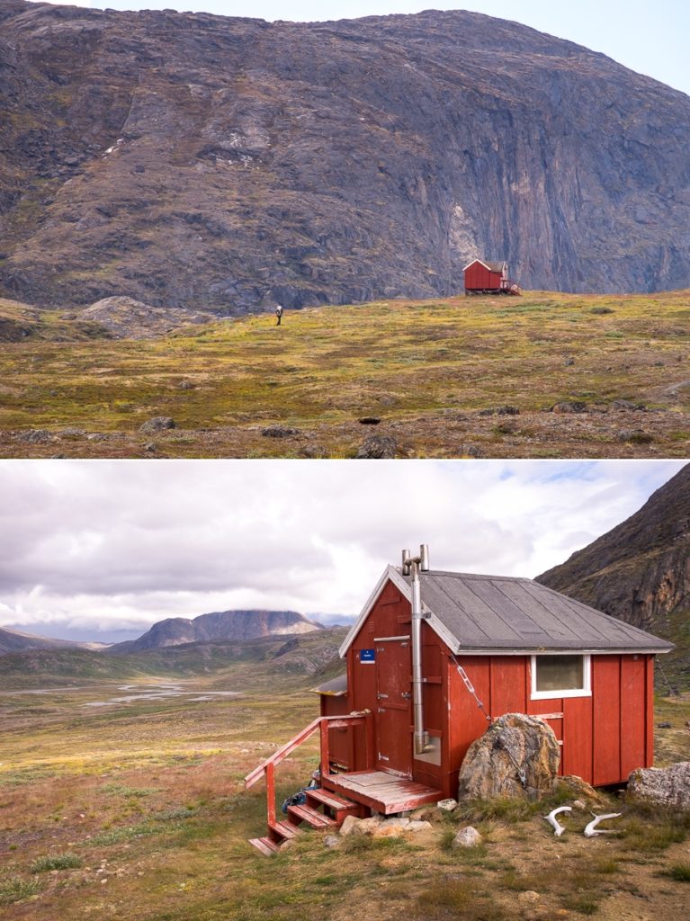
before carrying on down to Innajuattoq II – otherwise known as the Lake House.
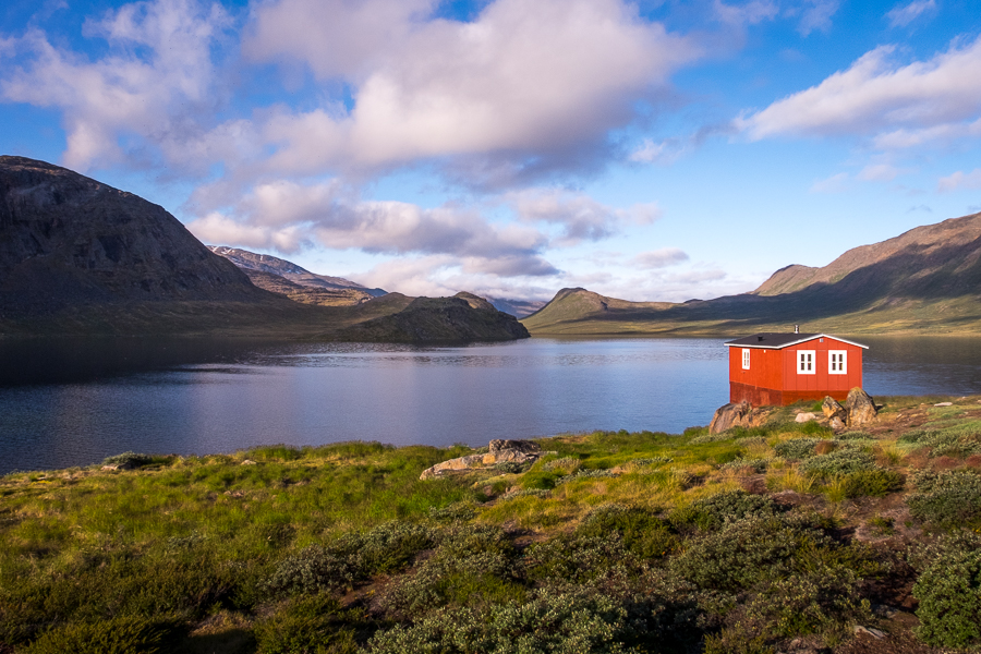
Tyson and I had originally planned to continue hiking, but upon entering the Lake House it quickly became clear why this is everyone’s favourite along the trail. We didn’t have to work too hard to convince ourselves to just stay put – especially as we were in time to snavel a bottom bunk each, the weather was closing in, and we were really enjoying chatting with the Kiwi-Canadians, who were planning to stay there the night.

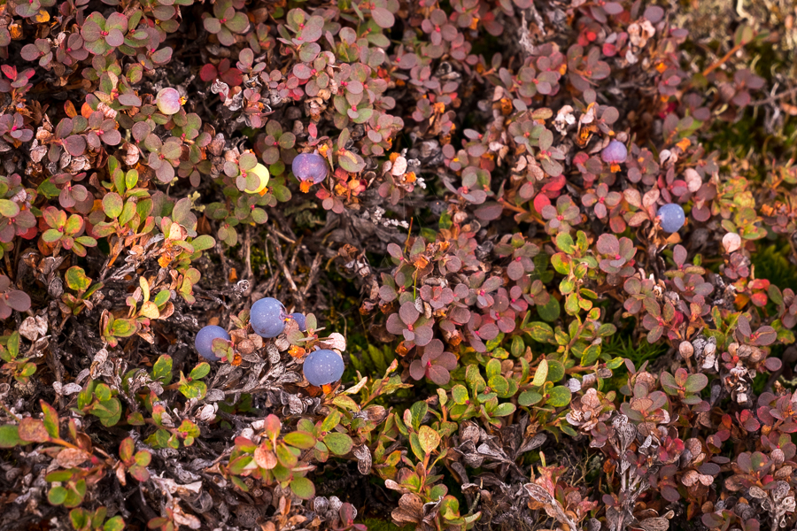
I did a very quick exploration around the hut (mostly to gather more wild blueberries for my porridge the next morning)
and then sat around drinking copious amount of tea and eating some of our surplus snacks, now that we were going to arrive in Sisimiut 2 days early.
Trekking Information
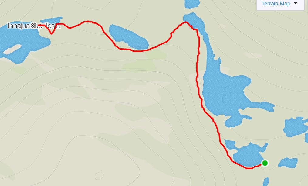
Distance = 12.8 km
Time taken = 5hrs 23mins
GPX File =Arctic-Circle-Trail-Eqalugaarniarfik-Inajuattoq.gpx
Strava Link = https://www.strava.com/activities/1813015009
Map
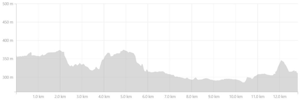
Altitude Profile
Read more about hiking the Arctic Circle Trail
If this post has piqued your curiosity about hiking and trekking in Greenland, read about my adventure over 8 days on the Arctic Circle Trail:
- Day 1 – Kangerlussuaq to Katiffik
- Day 2 – Katiffik to Canoe Center
- Day 3 – Canoe Center to Ikkattooq
- Day 4 – Ikkattooq to Eqalugaarniarfik
- Day 5 – Eqalugaarniarfik to Innajuattoq II
- Day 6 – Innajuattoq II to Nerumaq
- Day 7 – Nerumaq to Kangerluarsuk Tulleq Nord
- Day 8 – Kangerluarsuk Tulleq Nord to Sisimiut
- Arctic Circle Trail Summary
Also check out the Official Arctic Circle Trail website that I created for Destination Arctic Circle, and the Arctic Circle Trail Go-to Guide at Visit Greenland for which I was the primary creator. You may also be interested in the dedicated hiking trails site for the Arctic Circle region.
If it has sparked an interest in Greenland more generally, learn more about this amazing country at Visit Greenland, and check out the wide range of tours of all kinds (not just hiking and trekking) at Guide to Greenland.
