Hiking Greenland – Narsarsuaq Glacier
The weather in Greenland can be a little like the weather in Melbourne. In other words, quite unpredictable. When I set out on the Narsarsuaq Glacier hike (green trail in the map below) at 8:30am, it was very overcast and starting to spit with rain. By the time I was ready for the return journey at 11:30am, it was bright sunshine and hardly a cloud in the sky. By the time I got back to Narsarsuaq at 1:30pm, it was overcast again. You have to be prepared for all weather!

The first several kilometres of this hike, I have to admit, are pretty boring. You simply follow the flat, bitumen road out of town through the Hospital Valley. There’s not that much to see – a big hill on the right, a smaller hill (where the Ridge Hike goes) and a small lake on the left, and eventually, a chimney which apparently used to belong to the Officer’s Club.
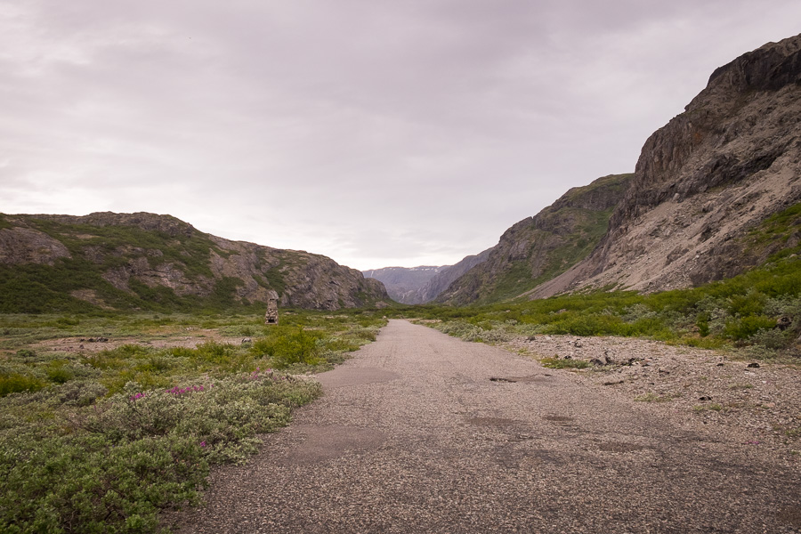
When the bitumen ends, well, you can probably guess what follows if you’ve been following all my posts from South Greenland…

Another pebbly gravel road! 🙁 Actually, this one wasn’t too bad because the pebbles were larger and it was actually possible to walk beside the road for a lot of it.
This led me over a small pass, at the bottom of which was the much more interesting Flower Valley.

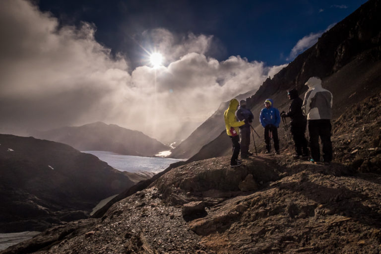
After some more nice, flat walking with the occasional stream jump thrown in for good measure, I arrived at a waterfall and an almost vertical trail (with ropes!) to take me up to the viewpoint over the glacier.

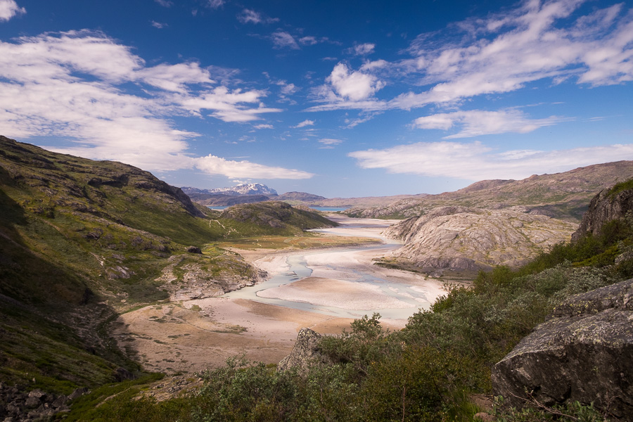
I think I mentioned this in a previous blog post somewhere – I actually prefer this type of hiking (where you end up using your hands and your feet to climb) as opposed to just an uphill slog – and in this case, it was only about a 250m vertical climb. Lots more flowers similar to yesterday’s hike, and some pretty spectacular views back along the river towards Narsarsuaq and the fjord!
At the top, there is a very picturesque lake which, unfortunately, the mosquitoes also find to be quite a good place to hang out. It turns out that my 50 cent insect repellent from Iran does work quite well, and again, thank you head net! 😊

Then a little further along – the viewpoint of the Narsarsuaq Glacier.

It is a gorgeous place, and really, you can never marvel at too many glaciers!
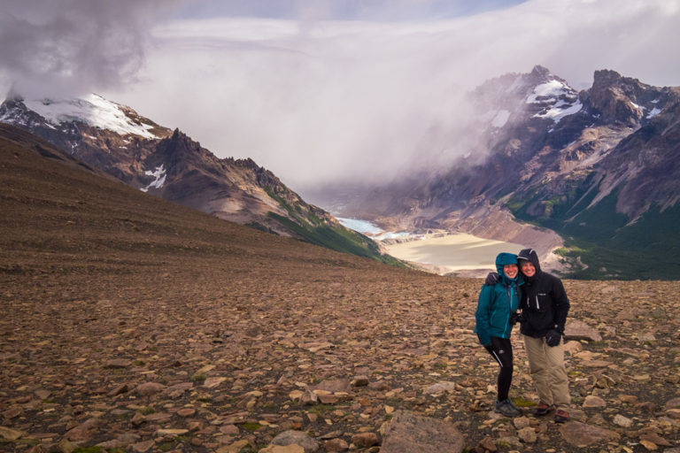
I decided not to do the hike down to the Glacier itself. The ice looked pretty dirty and I’d been up close and very personal with the Viedma Glacier in Argentina a few years ago when I went ice climbing there (sorry – before I started blogging 🙁 ). My recommendation: if you really want to explore a glacier – go ice climbing (not ice hiking) – you have to hike on the ice to get out to the crevasses anyway!
I admired the view from the top for quite a while, then headed back along the same route to relax in the amazing Narsarsuaq Hostel (seriously – all the hostels in South Greenland are incredible!), read some more of my book, and watch another couple of episodes of Game of Thrones Season 6 😊 Yes, I am a year behind…
And just for fun – look who was there to greet me when I got back! Yes, even the dogs wear head nets in Greenland to save them from the insects 🙂

Distance: ~14km
Time: ~5 hours (I didn’t hike down to the glacier, only to the viewpoint)
Notes: If you are at all unsteady on your feet, this is not the hike for you. The up-and-over the waterfall to the viewpoint is very steep (there are ropes to help you) so if you don’t like using your hands as well as your feet while you are hiking, best do the Ridge Hike instead.
Discover more about Greenland
If this post has piqued your curiosity about Greenland, learn more about this amazing country at Visit Greenland, and check out the wide range of tours of all kinds (not just hiking and trekking) at Guide to Greenland.