When you start researching things to do around Sisimiut you very quickly come across excursions to Assaqutaq – an abandoned settlement about 10km away. The Hotel Sisimiut offers a boat tour to and from the settlement, but what I really wanted to do was take a boat out and then hike back. I contacted Jan from Sisimiut Private Boat Safari to arrange and, with instructions to bring gloves and a beanie, was down at the harbour at the agreed meeting time.

Jan’s boat is small – equipped to carry only 4 people at a time. It is also open which means we were bundled up in freezer suits to combat the chill in the air (gloves and beanie not included).
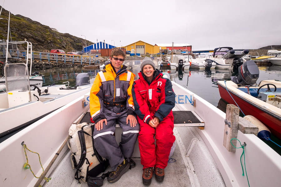
Jan, made of sturdier stuff, just wore a normal jacket and beanie!
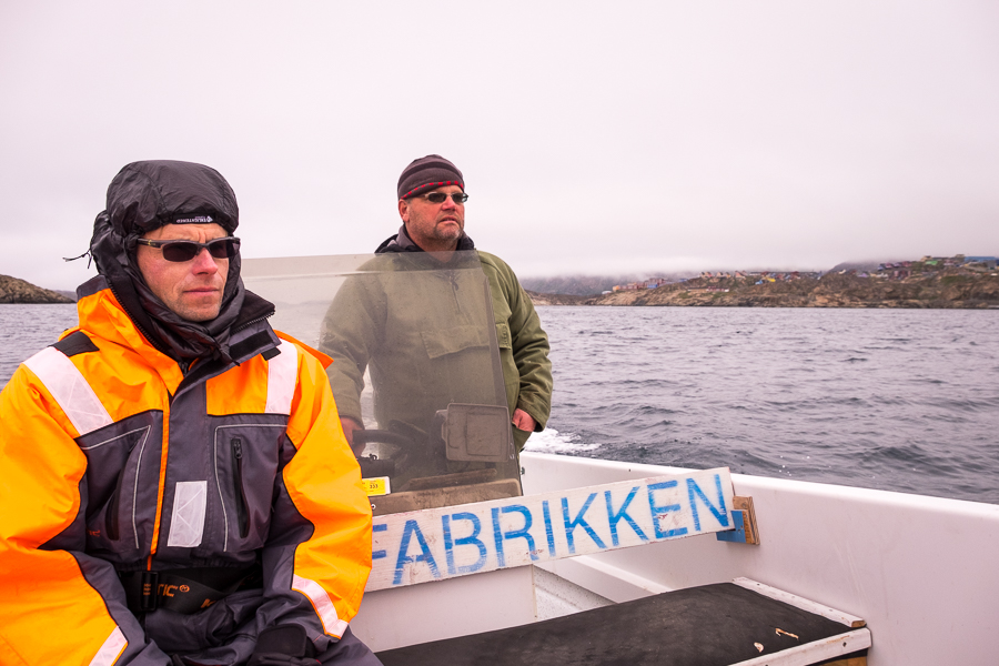
As we made our way around to the entrance of the Amerloq fjord in which Assaqutaq is located, we had wonderful views of the colourful buildings of Sisimiut. This, despite the very low cloud that didn’t look like it would be clearing off anytime soon 🙁

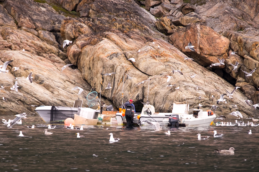
Jan kept a keen eye out for whales, seals and other wildlife as we motored along but, unfortunately on this day, the waters were very quiet. We did see some fishermen with a lot of winged friends
and Jan made a brief stop at an historical site with the remains of round stone houses

before arriving at Assaqutaq half an hour after setting out.

The settlement is an interesting mix of derelict buildings and ones that have been refurbished to accommodate primarily school and scout groups. Jan explained that hunters, fishermen and other people who follow more traditional Greenlandic practices are often brought in to teach the kids some of these skills and about their heritage – an awesome idea if ever there was one!
As we tied up to the dock, we were greeted by 5 kids on a school camp. While 4 of them endeavoured to manipulate a canoe and catch fish (no supervision at all, they had to figure it all out for themselves), the 5th one started peppering us with questions in very good English! “I’m feeling lazy”, he sighed when we asked him why he wasn’t in the canoe. And his response when we asked him where he learned his English: “YouTube”!

Being a native English speaker, I’ve often lamented that it is much easier for a motivated person to learn English from anywhere in the world than to learn any another language – simply because English is so ubiquitous and so dominant in popular culture. Certainly, many of the people I’ve met who have learned English have cited YouTube or TV or Hollywood movies as one of their key reference sources. The other: having the opportunity to talk to English-speaking tourists they encounter – something that is very much put into practice in Uzbekistan. And while I acknowledge that most languages have a web presence these days, try teaching yourself Greenlandic via YouTube … it is not so easy to find material, nor is it easy to find a Greenlander outside of Greenland and Denmark (yes, I’ve started learning a little Greenlandic – thanks Memrise)!
After hot tea and biscuits at the dock, Tyson and I set off to explore the crumbling structures of Assaqutaq.
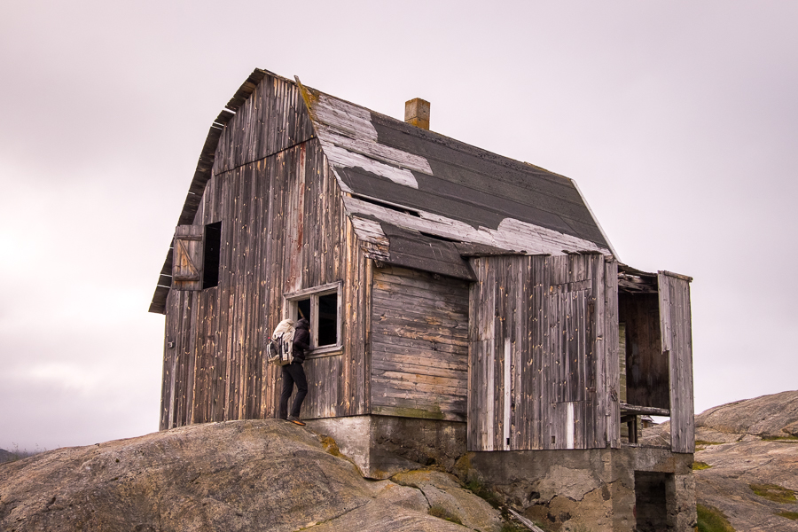
It was absolutely beautiful!
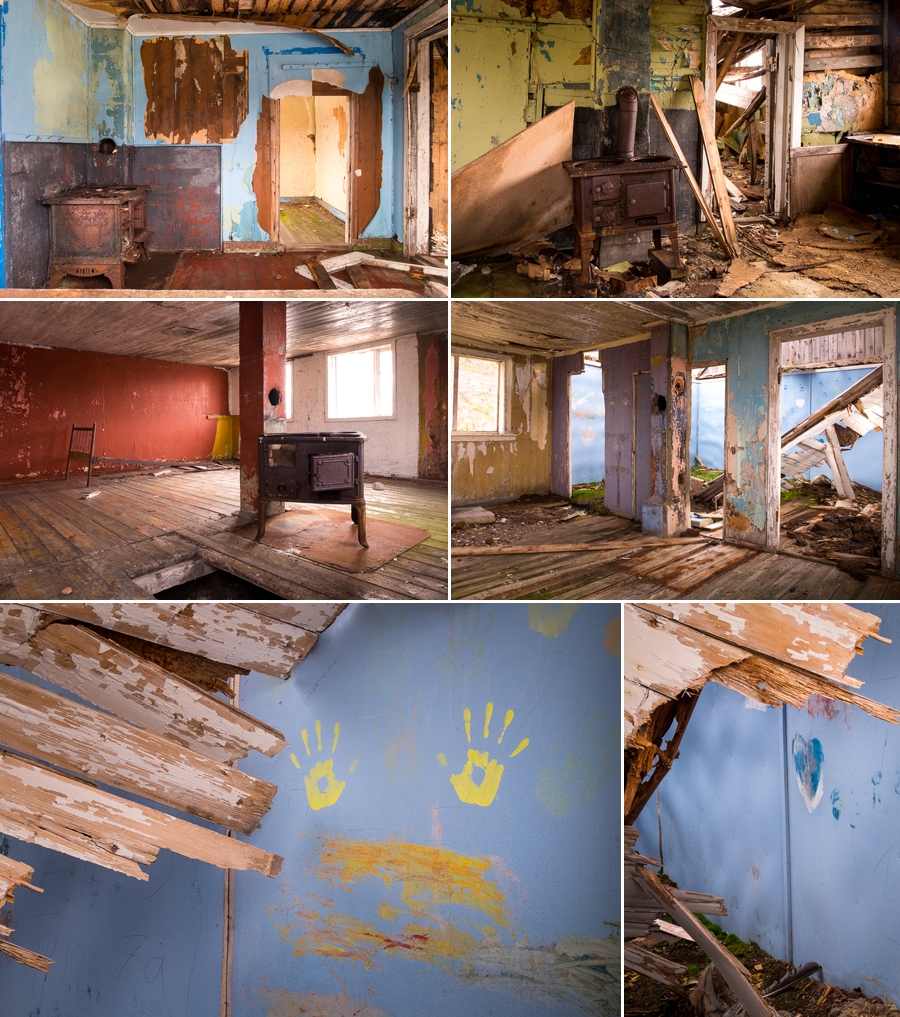
The faded paint that is slowly being stripped off the walls by the harsh Greenlandic weather,

the almost empty, half-collapsed but still brightly painted interiors,
the overgrown cemetery,
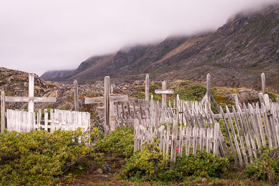
and the complete silence

[move mouse over image to see the full panorama]
made for a fascinating, if slightly eerie exploration of this settlement that was abandoned in 1968. In fact, Jan’s wife was the second-last child born in the settlement – her family home now slowly falling into ruin.
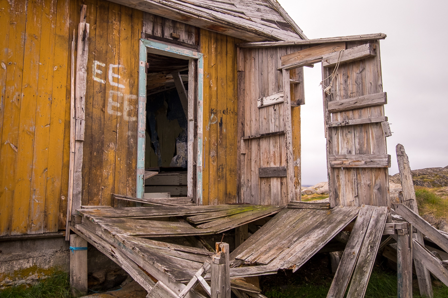
We poked our heads into the refurbished building the school group was occupying, walked through the old fish processing plant, and checked out the church as well (you can get married here if you wish!)

before Jan pointed us in the direction of where to start the hike and gave us some instructions on how to find the trail.
Assaqutaq is actually located on an island, separated from the mainland by a narrow stretch of water. There is now a bridge spanning the gap, and it is one of the coolest bridges I’ve ever crossed!
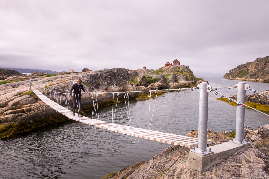
It is made of wooden planks tied together and to the bridge supports by rope, but there appears to be some missing and the experience of crossing this bridge can be described as “unstable” at best. It was so much fun – we did it twice!

The next obstacle was a scramble up an almost vertical cliff

and then some bush-bashing until we finally stumbled upon the foot-width trail heading towards Sisimiut. The views back over Assaqutaq were stunning!

and the trail, once found, was pretty obvious through to unmissable – especially once the red-or-blue-paint-on-rocks trail markers began. I later found out that the trail markers had just been renewed the previous weekend.
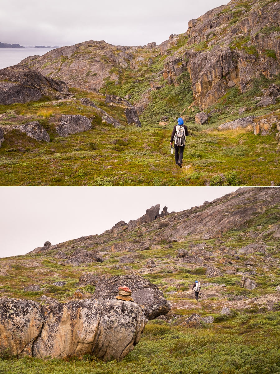
After about a kilometre, we came across a grave that was the most obvious visible sign of the old whaler’s station of Qerrortusoq,
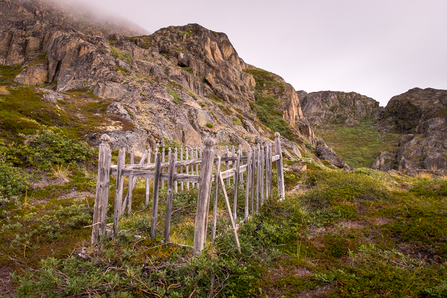
and a little further along, a group of students and teachers from Arctic DTU camped by the trail. They invited us to have tea and explained how in their program (which is focused on construction engineering in Arctic environments), the Danish and Greenlandic students spend their first 3 semesters in Sisimiut, and then finish their studies in Denmark. We had come across the group during the very first activity at the start of their commencing semester, where they get to know each other by spending 3 days camping near Sisimiut working on a project together.
The awesome footbridge we’d just crossed was a project from 2 years ago (apparently the wooden planks were originally evenly spaced, but the knots holding everything in place had moved), and for the past two years, students have been working on building a small cabin for their own use when they need a break from study. They were more than enthusiastic to show us around and explain what they were doing and, after waiting a couple of minutes for the finishing touches to go on, I even got to be the first person to walk up the newly constructed stairs to the hut 😊
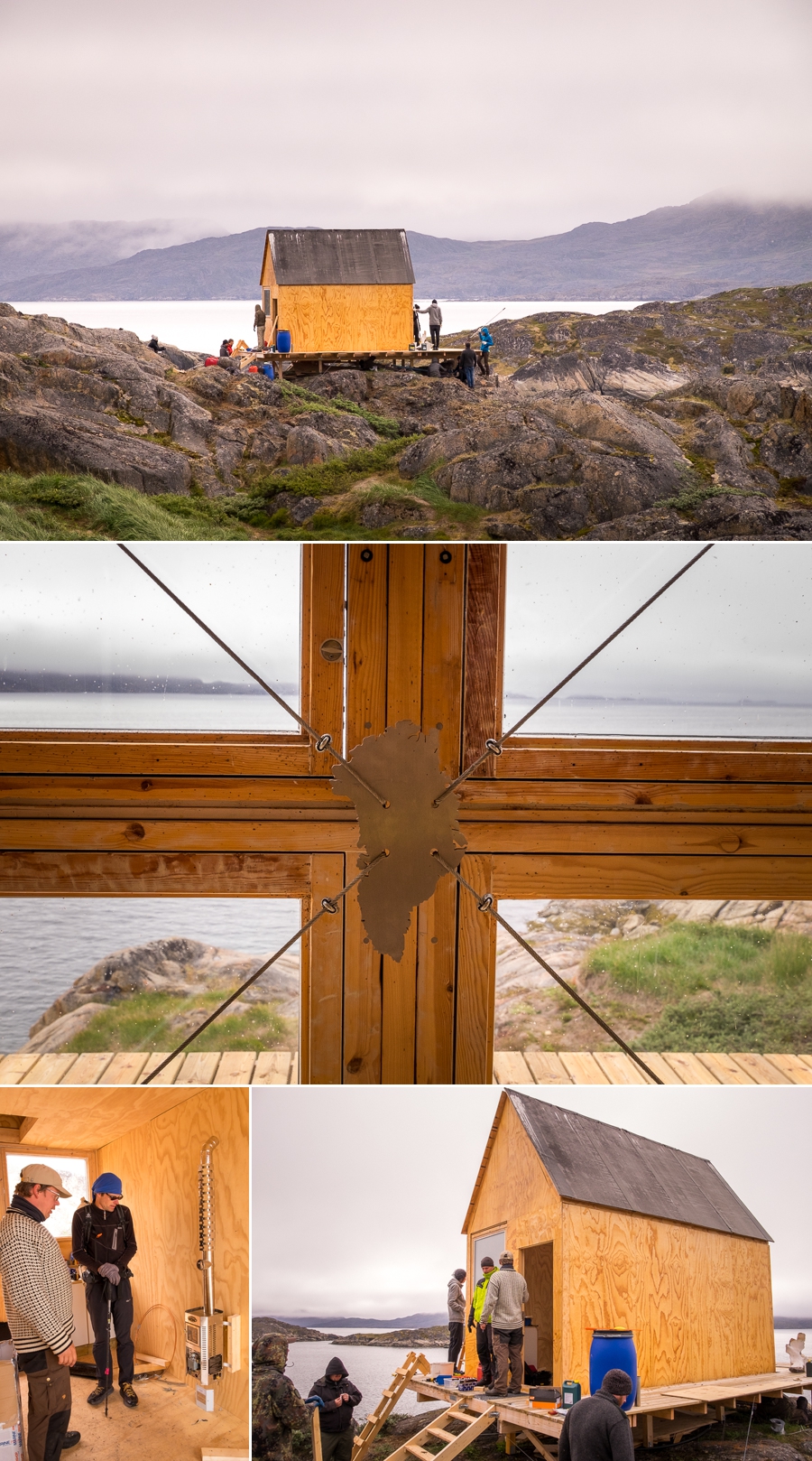
We spent quite a while chatting about the unique features of the hut and how to construct a cabin that is completely isolated from everything, before wishing them well in their studies and heading further along the trail.
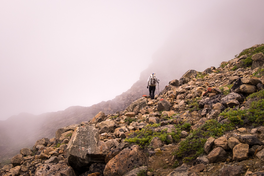
Despite the less-than-spectacular weather, with the fjord on one side and the mountains (their tops admittedly lost in cloud) on the other, it was a really stunning hike. We stopped to enjoy the mist and light playing out over the fjord
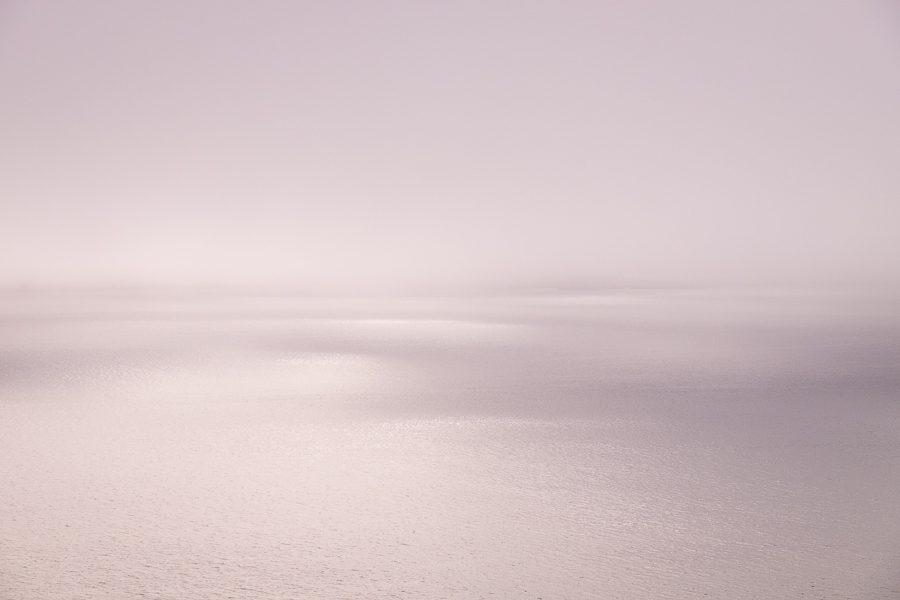
while keeping a wary eye on how low the cloud was reaching on the mountains. Although the trail was well marked, we didn’t want to be walking in fog.
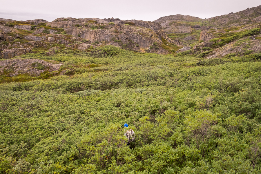
In fact, the only time we temporarily “lost” the trail was when it descended into a mini-forest of Dwarf Arctic Birch that had managed to grow as tall as Tyson! It is amazing what can happen with abundant water and a sheltered position.
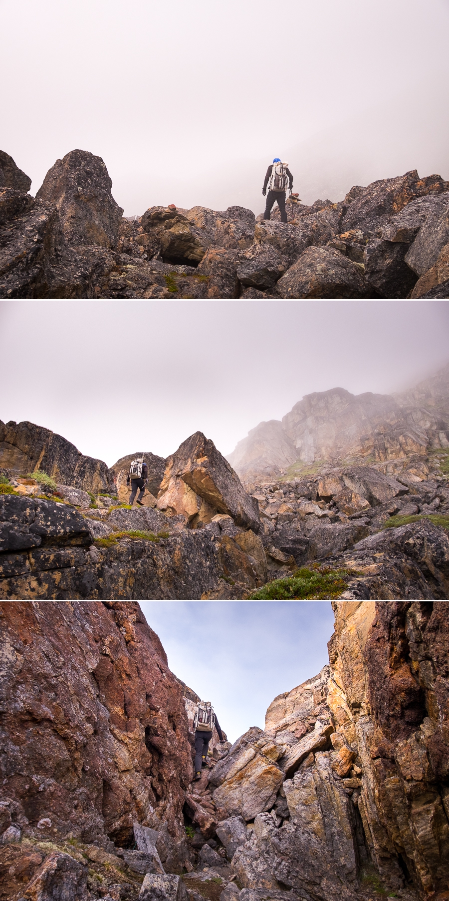
Yes, there are boulder fields to negotiate, and rocks to scramble over and climb, but the hike between Assaqutaq and Sisimiut is not overly technical and these kinds of obstacles just make it even more fun and interesting 😊
We were almost all the way back to Sisimiut when the cloud started to lift and the sun finally put in an appearance.
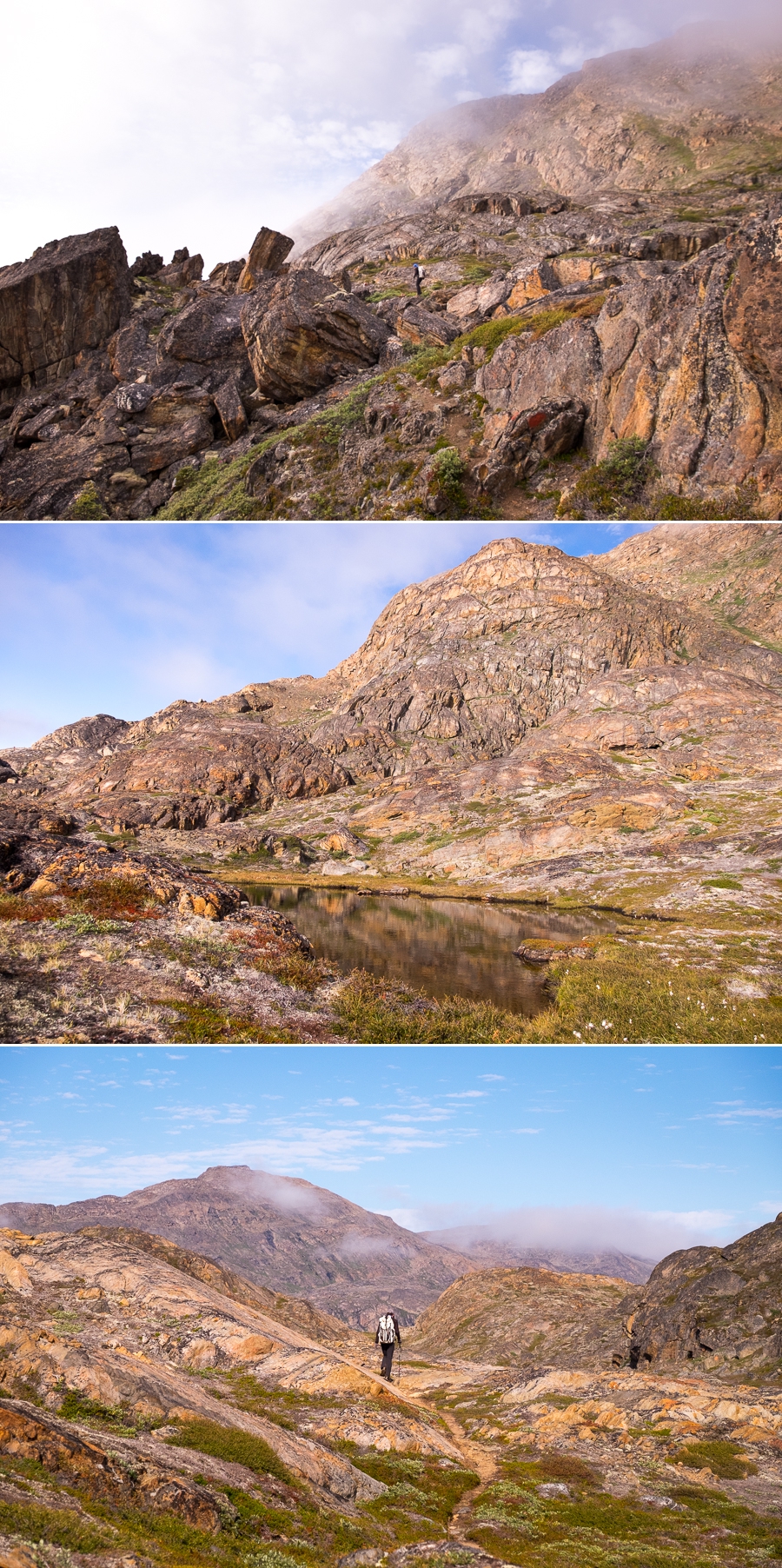
When this happened, the whole feeling of the hike was transformed from one of mystery to one of joy and I look forward to returning one day to hike the whole thing under blue skies.
I’m super-keen to see what those mountains look like from the trail!
Recommendation
If you like hiking, I highly recommend taking a boat transfer from Sisimiut to Assaqutaq and then walking back to town. It is stunning to experience the area from both the sea and the land, and the trail is only moderately difficult with quite a few boulder scrambles and small rock climbs.
Cost: Have a look at the Sisimiut Boat Safari website for details.
Time:
- Boat transfer: ~1/2 hour (though it depends on how much wildlife is around)
- Assaqutaq: as long as you like. We spent about an hour here but could easily have spent longer
- Hike back to Sisimiut: 3-4 hours
Hiking Information
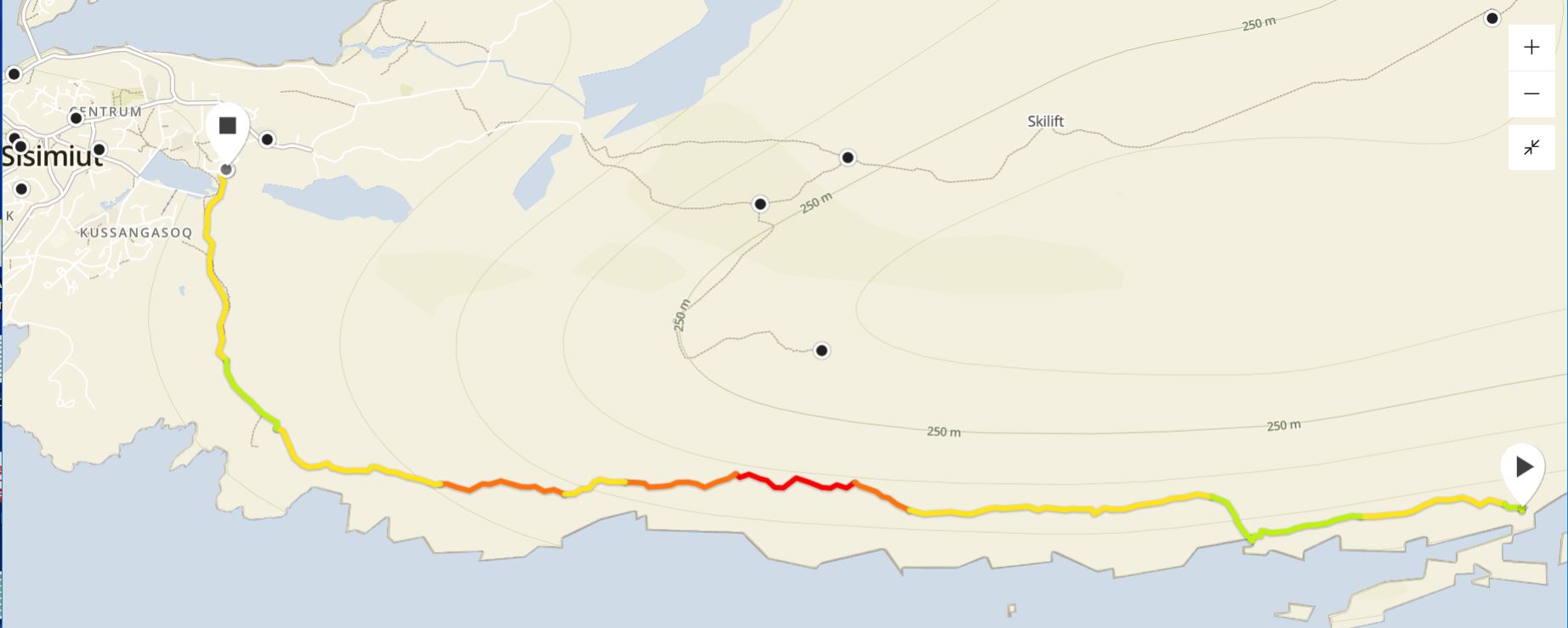
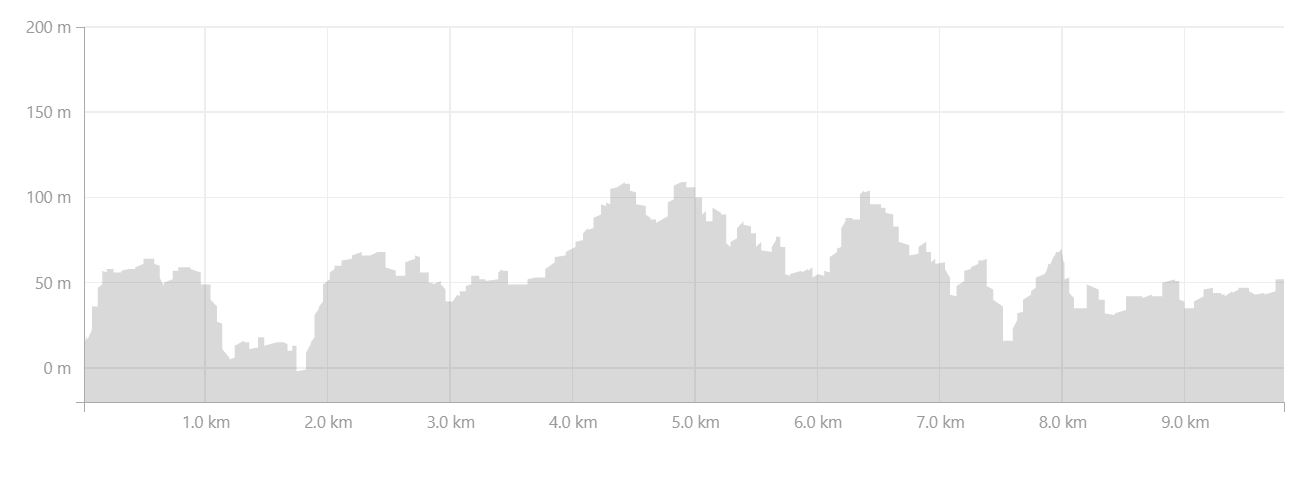
Distance = 9.8km
Time taken = 4 hours 30 minutes (includes stopping and chatting with DTI students for almost an hour)
Map
Altitude Profile
Download trail as .gpx or .kml
Discover more about Greenland
I have a large number of blog posts about Greenland, so feel free to read more about my experiences and adventures here on my blog.
Or, if this post has piqued your curiosity about Greenland in general, learn more about this amazing country by:
- checking out more hiking routes near Sisimiut at Destination Arctic Circle
- reading my Greenland-specific blog at Guide to Greenland
- checking out the information and wide range of trips available at Guide to Greenland
- exploring the Government tourism site at Visit Greenland
