Trekking Greenland – Arctic Circle Trail – Canoe Center to Ikkattooq
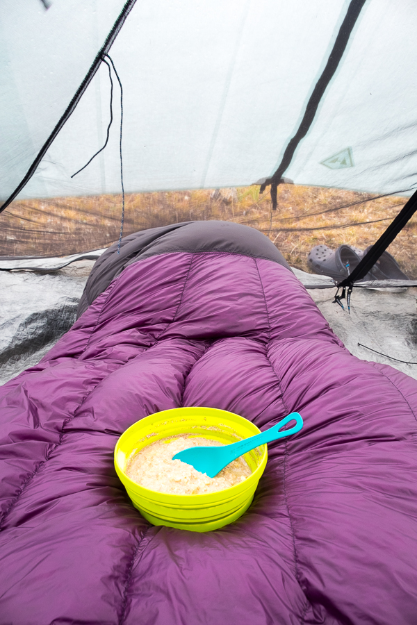
It turned out Tyson and I were the only people to camp last night at the Canoe Center, despite both of us hating his tent. Everyone else took the opportunity to sleep inside and had hit the trail early – long before we even got out of bed. Admittedly, we took a very relaxed approach to our mornings…
Even though it was only the start of Day 3, we had already started to recognise and strike up conversations with most of the hikers heading in the same direction as us. There were the 3 Poles, the 2 Red Germans, the 2 Green Germans (denoted by the colour of their pack covers), the 2 Trolley Germans (they were pulling a trolley as well as carrying backpacks!!), the 4 Young Germans (yes, a lot of Germans!), the 2 Austrians (just for a bit of a change), the 2 Asian Girls, the Crazy Hungarian Guy (his plan was to hike the Triple Crown in an insanely short amount of time), and the 2 Kiwi-Canadians (a New Zealander couple living in Canada). Yes – we had nicknames for everyone, but they also had them for us 🙂
All up, about 20 people that we would see every now and then as we hiked (often in the distance) and perhaps at the end of each day at the huts (along with a handful of people coming the other direction). That’s it. And this was peak season for Greenland’s most famous trek!
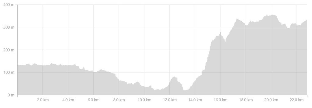
The first part of today’s hike delivered us to the end of the Amitsorsuaq Lake and our first section of really boggy ground. This is something that you read a lot about when planning to hike the Arctic Circle Trail, and my goal was to complete the trek without getting wet feet through my boots. I figured I had a good shot at it with my Lowa mountaineering boots 🙂

Although the trail had already presented us with some mud and wet areas to negotiate, it had not been too bad. This was the first time we really had to pick our way through and sometimes backtrack a little. That being said, we hoped that it wouldn’t get much worse and that the reports we were getting from hikers coming the other direction were over-blown!
Aside from negotiating the bog, the rest of the hike until lunchtime was easy going, with low-lying cloud obscuring the tops of the mountains.

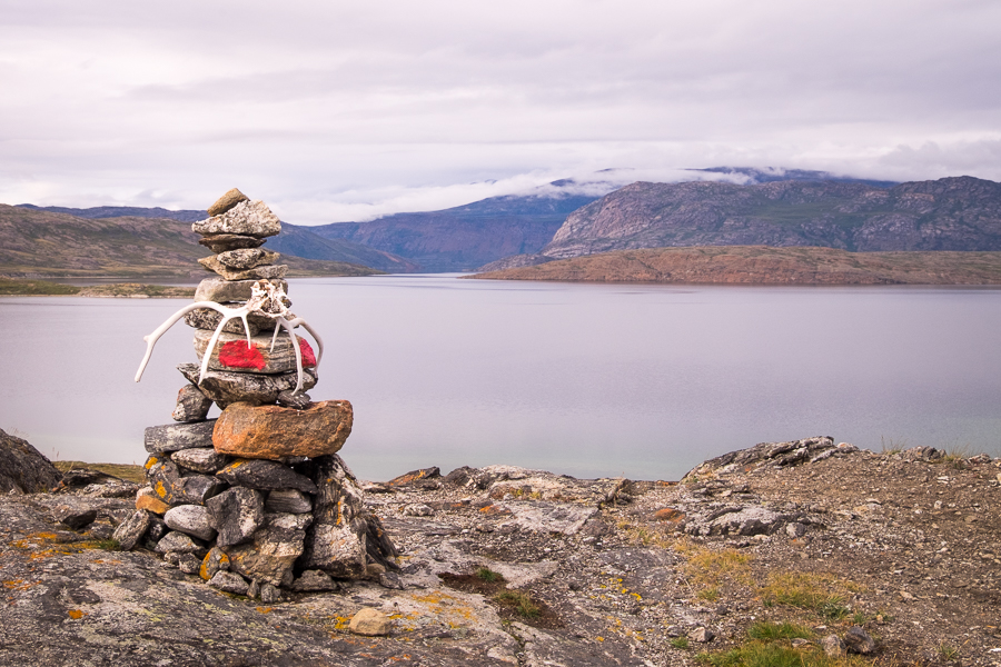
We had our lunch perched on a small rise above the Tasersuaq Lake, with the Green Germans and another dead reindeer perched on a stone cairn for company
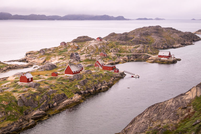
before descending to the one of the very few sandy shorelines along the trail where the Red Germans had decided to stop early and set up camp. One of the many beautiful things about hiking in Greenland is that you are allowed to camp anywhere.

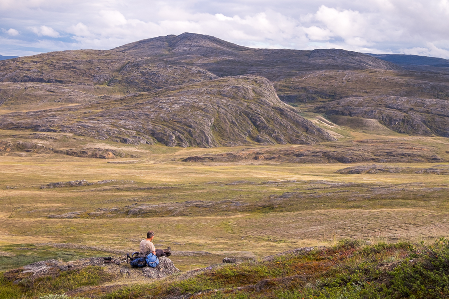
From there, we had the first real climb of the trek – a relatively steep ascent of 400m.
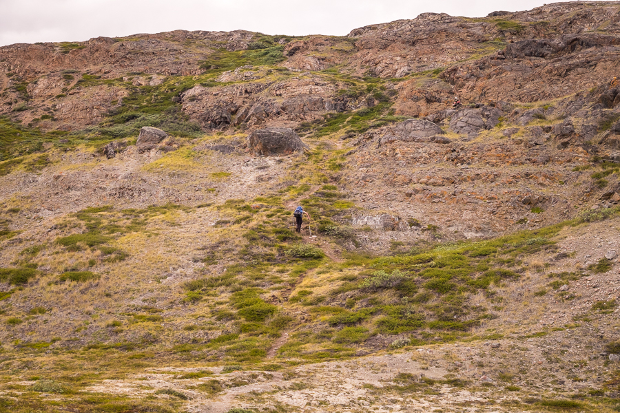
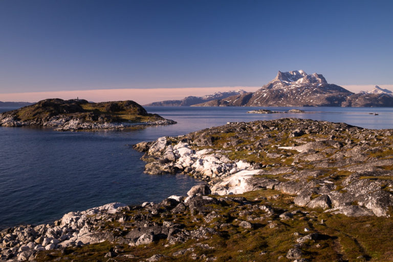
Fortunately, the views back down into the valley and across the lakes were spectacular and provided an awesome excuse to stop for numerous breaks.

[move cursor over the image to see the full panorama]
Rob also thought it looked like a good location to spot Musk Oxen and so set himself up to see what he could find.

He didn’t end up seeing any there, but did manage to spot an Arctic Hare a little further along the trail. They are surprisingly large animals!

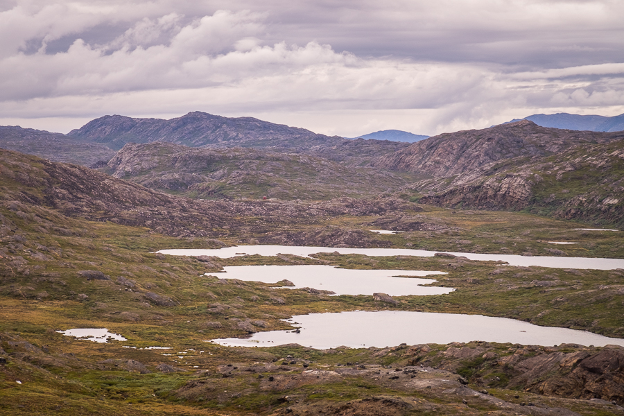
From the top of the climb the view was unbelievable! This is one of the many reasons why I love long-distance hiking – to fill my heart with scenes like this 🙂

[move cursor over the image to see the full panorama]
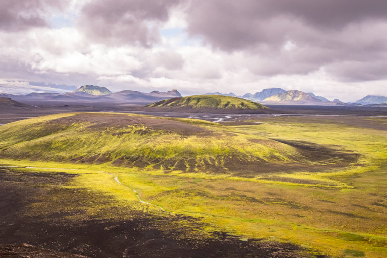
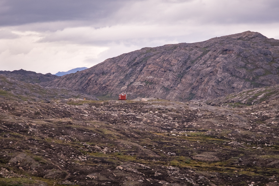
But there was still no sign of the Ikkattooq Hut! The next 6kms were up and down across the Arctic tundra

until, finally, we spied the hut on a ridge in the distance.
It was surrounded by burned ground – a stark reminder that Arctic vegetation does not re-grow quickly after a fire (this one from back in 2017)
and had a very clever and sneaky resident 🙂
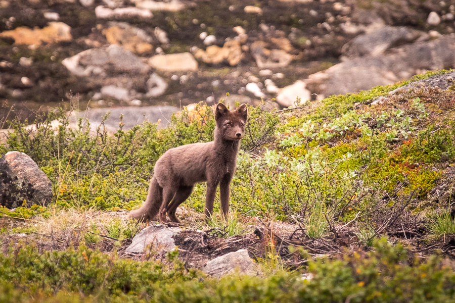
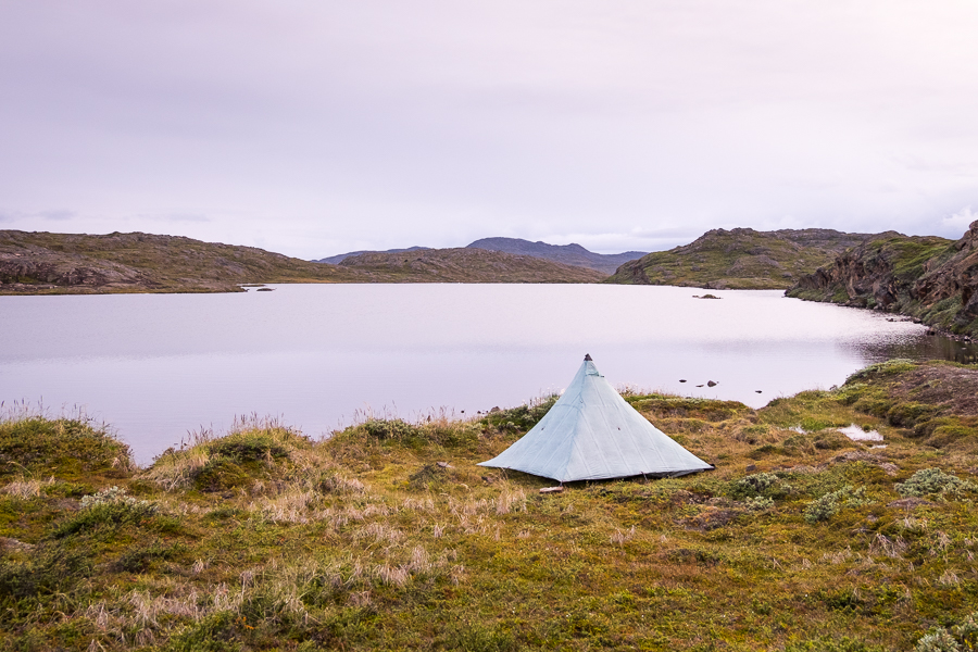
Our Arctic Fox kept us entertained as we pitched Tyson’s terrible tent right down on the lake (it was the least windy spot and his tent didn’t do wind well, despite what the marketing material said!)
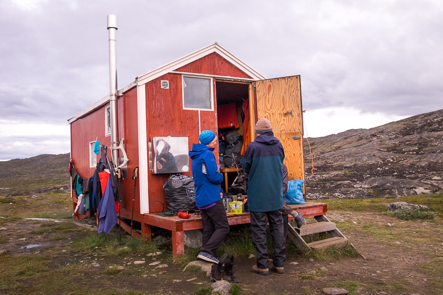
and went about preparing our dinner. Once again, Tyson and I begged for gas. And once again, our fellow trekkers were more than generous 🙂 The Kiwi-Canadians promised us whatever gas remained in their first canister after they cooked dinner tomorrow night, and we also found 2 canisters in the hut with a sniff of gas in each. Yes – we totally took them!
Trekking Information
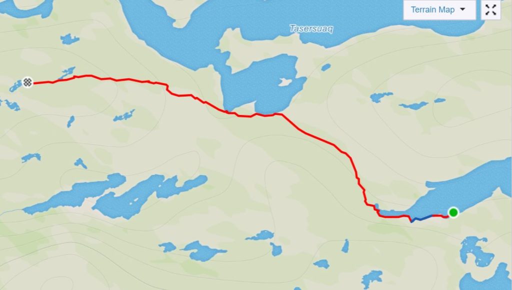
Distance = 22.8 km
Time taken = 8hrs 23mins
GPX File =Arctic-Circle-Trail-Canoe-Center-Ikkattooq.gpx
Strava Link = https://www.strava.com/activities/1813015327
Map
Altitude Profile
Read more about hiking the Arctic Circle Trail
If this post has piqued your curiosity about hiking and trekking in Greenland, read about my adventure over 8 days on the Arctic Circle Trail:
- Day 1 – Kangerlussuaq to Katiffik
- Day 2 – Katiffik to Canoe Center
- Day 3 – Canoe Center to Ikkattooq
- Day 4 – Ikkattooq to Eqalugaarniarfik
- Day 5 – Eqalugaarniarfik to Innajuattoq II
- Day 6 – Innajuattoq II to Nerumaq
- Day 7 – Nerumaq to Kangerluarsuk Tulleq Nord
- Day 8 – Kangerluarsuk Tulleq Nord to Sisimiut
- Arctic Circle Trail Summary
Also check out the Official Arctic Circle Trail website that I created for Destination Arctic Circle, and the Arctic Circle Trail Go-to Guide at Visit Greenland for which I was the primary creator. You may also be interested in the dedicated hiking trails site for the Arctic Circle region.
If it has sparked an interest in Greenland more generally, learn more about this amazing country at Visit Greenland, and check out the wide range of tours of all kinds (not just hiking and trekking) at Guide to Greenland.