Hiking the Ecuadorian Inca Trail
I wanted to get some hiking in while I was in Ecuador and my first idea was to hike El Altar to see the 5 lagoons. However, one of the biggest problems with travelling alone is that most excursions only happen with a minimum of 2 (or 4) people, and unfortunately, I couldn’t find anyone else who wanted to do that trek with me.
So then I stumbled across the website of Julio Verne Travel who had a guaranteed departure listed for Ecuador’s Inca Trail, right at the time I was looking to do the hike. So I signed up for that one instead 🙂
The hike is about 45km long and follows the remnants of the Inca royal road that linked Cusco in Peru to Quito in Ecuador. It’s an interesting fact that it took the Incas several years to conquer Ecuador – such was the resistance of the Cañari people. And when they did finally succeed, they were only in Ecuador for about 30 years before the Spanish rocked up and stole the show – so there is not the abundance of Inca sites that you find in Peru.

There ended up being 8 of us on the hike (Belgian family of 3, Belgian couple, solo French girl, solo German girl, me) + 2 guides + the support crew of 4 guys and 6 donkeys who carted all the tents and stuff for camping!
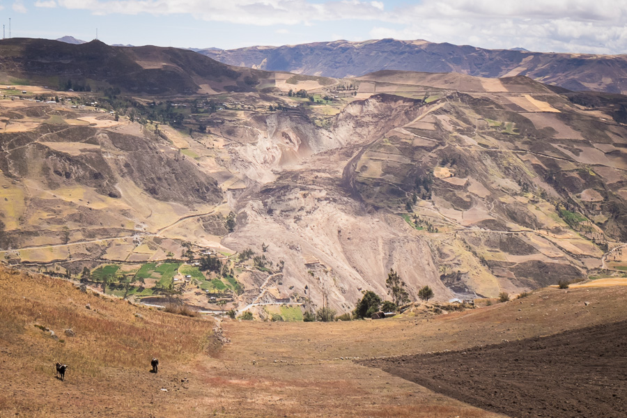
First up was the ~3 hour drive from Riobamba to Achupallas – the starting point for the trail. We actually had to take the long way round due to a recent landslide that had blocked the regular route to the town.
Had a quick lunch of a felafel roll (very tasty!) sitting in a field with an indigenous family while waiting for the donkeys to be loaded, and then we headed off along the Inca road.

This section right at the beginning was the only part that retained any trace of the walls that used to line the road.

The first 1/2 day of hiking took us from Achupallas (3300m) up a long valley of paramo grasslands with spectacular views and the remnants of a couple of Inca buildings.

We came across a few locals along the way, but mostly it was just a beautiful, and surprisingly easy (Pichincha was a million times more difficult – really!) walk in a remote region of Ecuador where you could become lost in your thoughts.
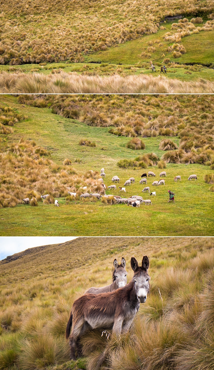
The donkeys carrying all our camping gear overtook us about 1/3 of the way along the walk and the guys had started to set up camp before we arrived.

This included a dining tent – lit by a couple of candles “glued” to the top of a water bottle, and a cooking tent (the only warm place apart from inside your sleeping bag). Camping at ~4000m is bloody freezing, but the cold does make the food taste very, very good!

Day 2 saw us rise relatively early and again keep heading up hill to the highest part of the walk – Cuchilla de Tres Cruces – passing the Laguna de Tres Cruces along the way.

At the Cuchilla de Tres Cruces there was a large pile of rocks that reminded me of an ovoo in Mongolia but without the prayer flags and without the requirement to walk around it 3 times. Raul (one of our guides) said a little prayer to the ancient people to protect us on our journey and grant each of us a wish, at which point we all added a rock to the pile along with our wish.
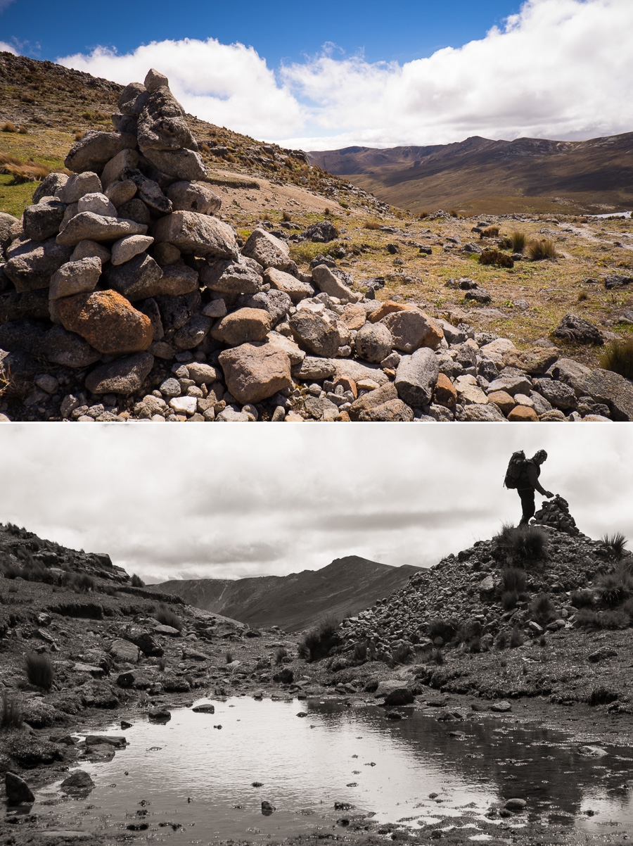
From there it was hiking down over some very, very boggy ground in the valley of Quebrada Espíndola (they gave us gumboots to hike in during the second day), though every now and then the actual Inca trail would appear out of the bog to provide a little firmer footing.

By lunchtime, we had reached the next valley, which was again truly beautiful.
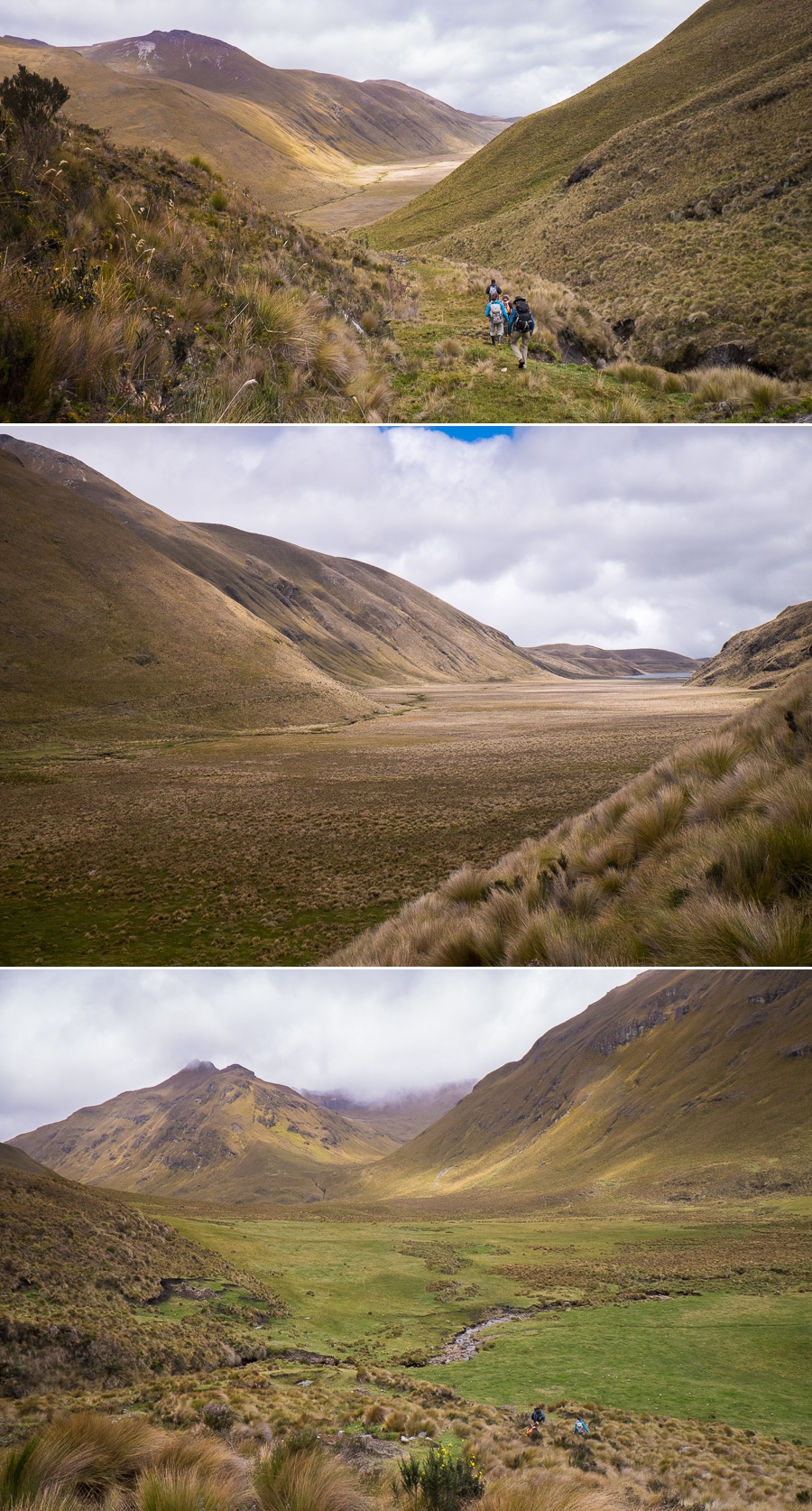
The route then took us along this valley past Lago Culebrillas to another Inca ruin – Paradones (3,980m) – a resting place for Inca couriers.

We followed the lead of the Incas and stopped for a while here before heading further along the Inca road that was much more visible now than it had been to this point. Here it was at its full width of ~7m. We passed yet another lake – San Jose -before arriving at our second campsite at 3800m – smack bang in the middle of a swamp. Hmmmmm….
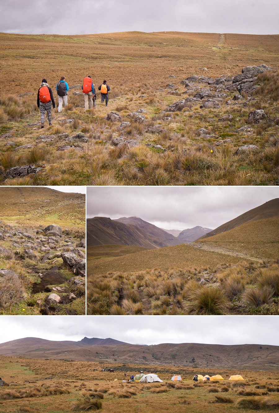
Day 3: After another cold and very, very wet night we headed off for the last leg of our hike down to Ingapirca (“Inca Walls”) – the most important of the Ecuadorian Inca (and Cañari) ruins. It didn’t take us long after leaving camp to enter back into civilization and the majority of this part of the hike was through farmland. I definitely missed the remote beauty of the previous day and a half, and ended up walking this part in a total daydream about something completely different.
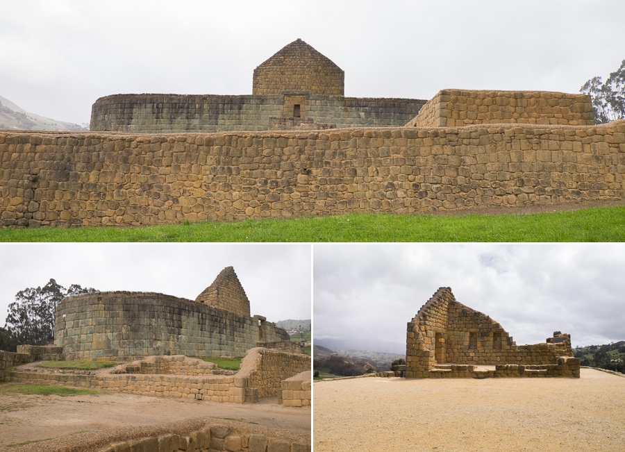
Arrived at Ingapirca after only a few hours, had some lunch, and then entered the ruins to discover more about the history of the Incas in this region and their relationship with the Cañaris who were here before them. Basically, when the Incas conquered the Cañaris, they didn’t destroy their culture, but rather subsumed it as part of their own. For example, they left many Cañari tombs and buildings intact while they went on to build their own structures on the same site.

The most impressive of which is the Sun Temple, built in the classic mortarless, fitted-stones method of the Inca empire with trapezoidal niches. It is believed that this was used for religious and/or ceremonial purposes.
Recommendation: This is a really lovely hike through some remote parts of the Sangay National Park, and not difficult if you have done some hiking before and are acclimatized. The most difficult part is dealing with the cold at night – so take plenty of layers!
Cost: $330 per person ($360 if between 2 and 4 people) through Julio Verne Travel, which included everything.
Time: 3 days
