Most people come to Otavalo for the enormous Saturday market on a day tour. They catch the bus up from Quito early in the morning or the night before, shop, and then catch the bus back, without ever stopping to explore the surroundings. Which is a shame, because Otavalo is ringed by volcanoes and there is a lot of great hiking to be done.
One of the easiest hikes (if you can call doing anything between 3,100m and 3,500m easy) is the 14km circuit around the rim of the crater that contains Laguna Cuicocha (I also hiked to the summit of Fuya Fuya, which is much more difficult). Surprisingly, it doesn’t seem like many people do this – I only came across one Ecuadorian family who had carted a portable BBQ and boxes of food (!!!) up to the highest point for a picnic, and a group of older North Americans who had also only hiked part of the way around (and the not-so-interesting part at that!).
Which is bizarre – because it is a beautiful hike!
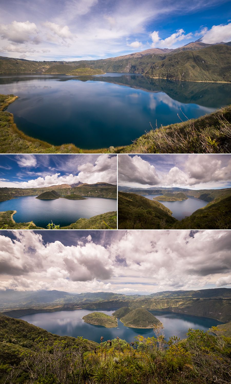
I had managed to convince my Argentinean hostel room-mate to do the hike with me to share the cost of the taxi out there (one of the hardest things about hiking in Ecuador is actually getting to the trail-head). She was up for a 9am leave-the-hostel, but I convinced her it would be better to leave at 8am 🙂 We arrived at 8:40am to a beautifully still lake and almost perfect reflections.

I’ll never understand why people don’t want to start out as early as possible given the possibility of seeing something so amazing.
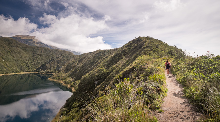
We then set off on the hike in an anti-clockwise direction.

Given it is an eroded crater rim, there are plenty of ups and a few downs, especially for the first half, but the trail is extremely obvious and very well cared for.

There really isn’t too much to say about the hike itself – nothing spectacularly interesting happened along the way, nor were there any real challenges. It was all just about the changing views of the lake.

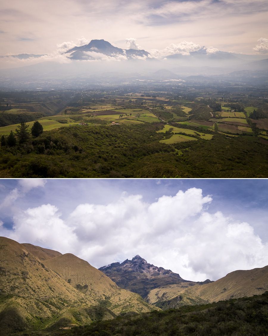
And the views to the surrounding volcanoes, particularly Volcán Imbabura, and Volcán Cotocatchi, which towers above it.

The name Laguna Cuicocha means “Lake of the Guinea Pig” in the Quechua language, possibly named after the shape of its largest island – Teodoro Wolf (the smaller island is called Yerovi).

And although I didn’t see any guinea pigs, there were the last vestiges of what must have been an amazing bloom of flowers and orchids about a month before!

All up, I took about 4.5 hours to hike around the rim, but that was with a couple of long stops to chat, and taking lots of photos. For me, the first half (going anti-clockwise) was the most rewarding, as the last third basically tracked along a road. Though I admit there were great views across to Volcán Cotocatchi.

I didn’t end up calling into the tourist enclave at the end, but my understanding is that boat trips on the lake only cost a few dollars if you don’t want to hike. However, you would be missing out on the best part, as you really need the height that the rim provides to have the most spectacular vistas.
Recommendations
Do this hike! It is beautiful and well worth the effort.
Time: about 4.5 hours
Cost: USD$12.50 each (USD$25 for the taxi). I was lazy and just got the taxi provided by the hostel, given I could split the cost.
